
What is recorded here
Oldchapel still stands at the south end of its desert house cluster, yet the chapel itself has vanished without a trace. It may have been a nineteenth-century Roman Catholic chapel, built and forgotten so quickly that even the first survey maps never caught it. The absence is not empty; it is a shape waiting to be remembered.
At S end of a now-deserted house cluster called Oldchapel. No visible trace of it survives. Its absence from the 1st ed. of OS 6-inch map suggests that it may have been a 19th-C R.C. chapel.
The above description is derived from the published 'Archaeological Inventory of County Galway Vol. I - West Galway'. Compiled by Paul Gosling (Dublin: Stationery Office, 1993).
Date of upload: 05 August 2010
This remains an important historical record, but the official description says the monument is no longer visible or has been destroyed. The monument record does not grant public access. Check the route and ask the landowner before entering private land.
- What survives
- No visible remains or recorded as destroyed
Places near here
 Church in ruinsChurch · 489 yd
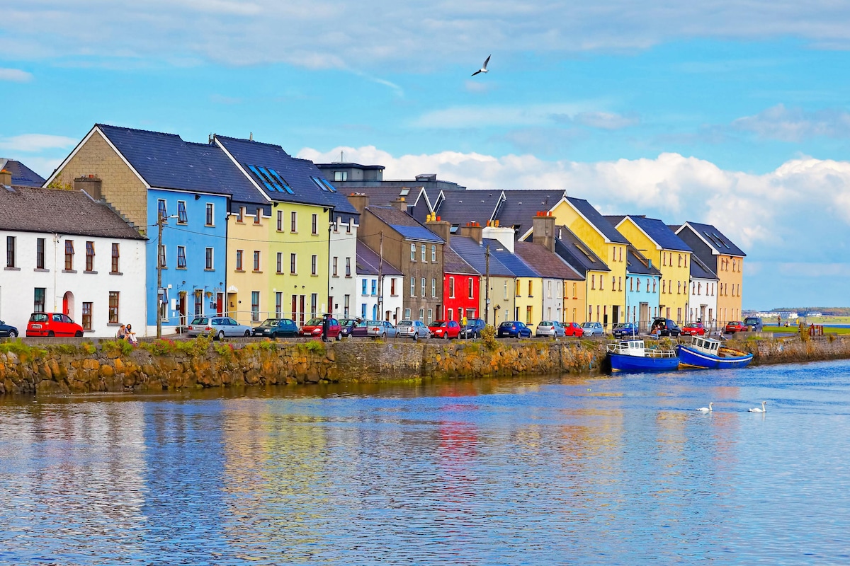 St. Cuammins WellHoly well · 768 yd
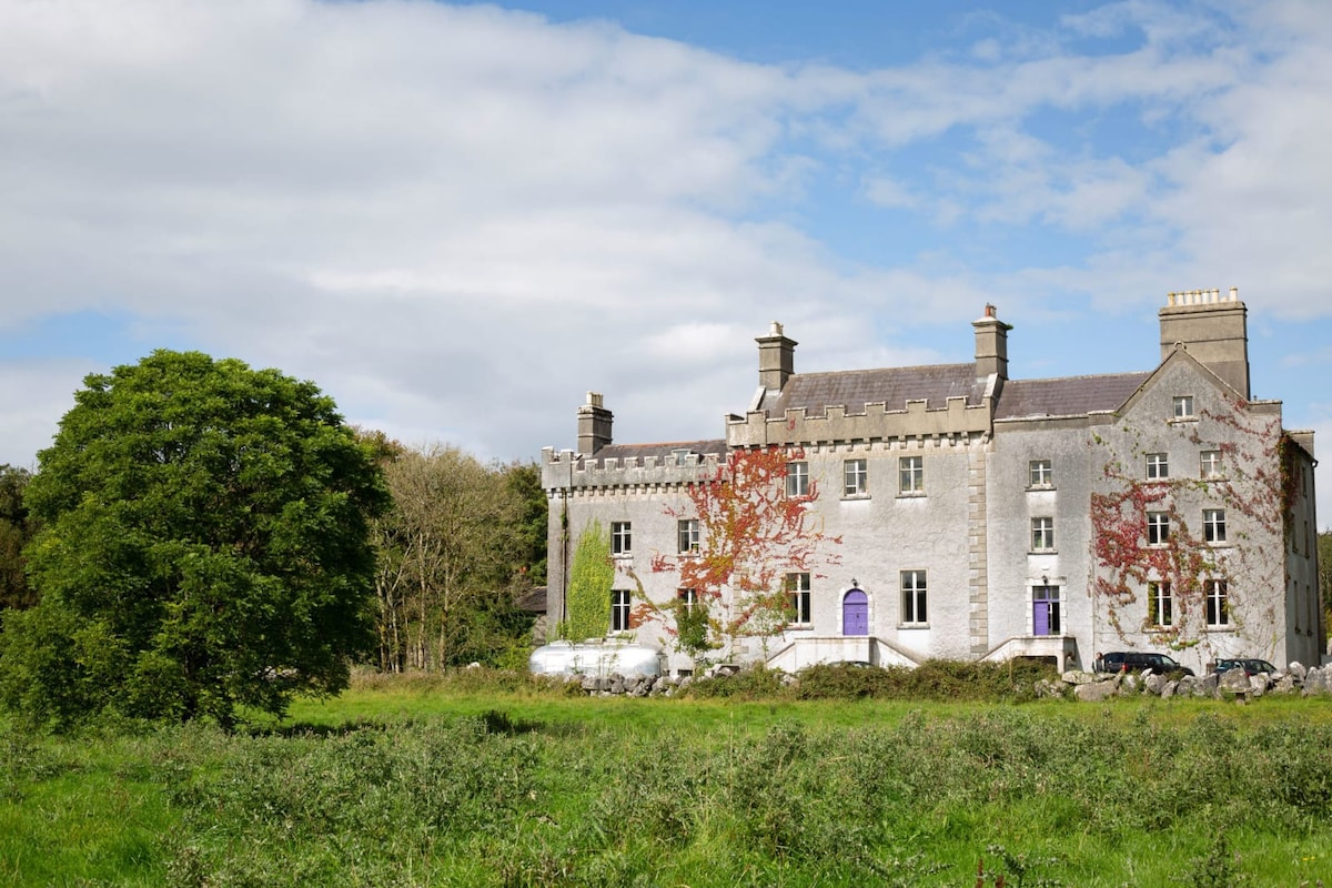 Enclosure in Cregg (moycullen By.)Enclosure · 1238 yd
 Ardvarna Househouse · 1271 yd
 Aughnanure Castle (in ruins)Castle, tower house · 1722 yd
 Owenriff WayWalking route · 1.1 mi
 CastleCastle, unclassified · 1.1 mi
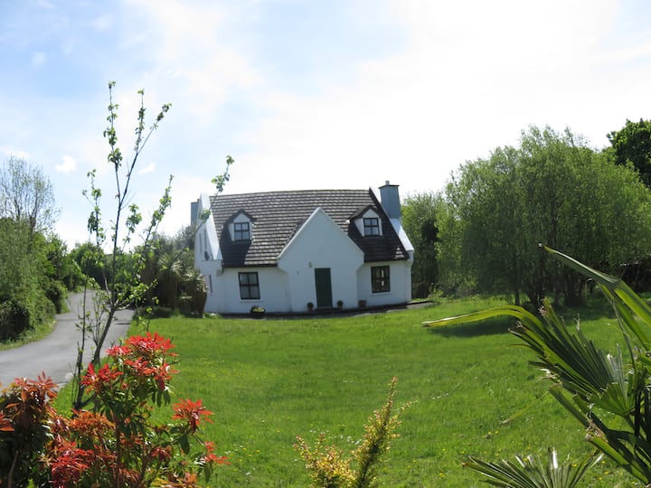 IllauncarbryIslet · 1.5 mi
 Inis Dáith BhuíIslet · 1.7 mi
 Newvillage ForestForest · 3.0 mi
 Glengowla Mines MuseumMuseum · 3.1 mi
 Glengowla MinesHeritage attraction · 3.1 mi
Other information
Photo: Credit not shown in the picture search · Rights wording not checked; contact us if this picture should be removed