What is recorded here
Circa 50m to the NE of Eyrecourt House (GA108-086001-). Marked ‘Cave’ in Roman script on the 1838 edition of the OS 6-inch map. No visible surface trace survives; possibly a Man-made underground passage or a natural cave. Another possible Man-made underground passage (GA108-083---) lies c. 75m to the NE.
Compiled by: Galway Archaeological Survey, UCG
Date of upload: 2 October 2019
The monument record does not grant public access. Check the route and ask the landowner before entering private land.
- What survives
- Recorded monument
Places near here
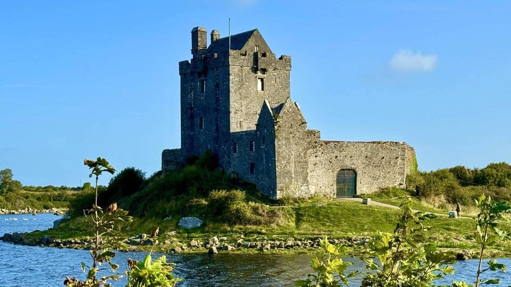 Killenehy FortArchaeological place · 430 yd
 Wall monument in Eyrecourt DemesneWall monument · 476 yd
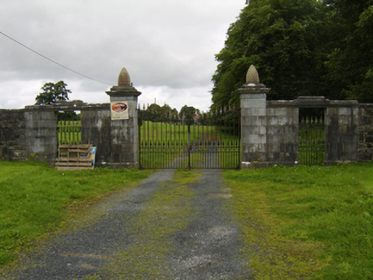 Eyrecourt Castlegates/railings/walls · 477 yd
 Enclosure in Abbeyland GreatEnclosure · 1285 yd
 Lismore CastleCastle, tower house · 1.5 mi
 Redmond HillMountain / peak · 1.7 mi
 CastleCastle, unclassified · 2.4 mi
 MeelickVisitor information · 2.6 mi
 Killeen's IslandIsland · 2.6 mi
 European ashEuropean ash · 2.6 mi
 Friars IslandIsland · 2.8 mi
 Silver FirSilver Fir · 3.1 mi