
What is recorded here
On a S-facing slope in undulating grassland. Very poorly preserved circular enclosure (diam.
c. 29m) defined by a slight traces of a low earthen bank (Wth 4m; int. H 0.4m; ext. H 0.4m). According to local information, the monument was levelled in the mid 1930s.
Compiled by: Galway Archaeological Survey, UCG
Date of upload: 8 February 2019
The monument record does not grant public access. Check the route and ask the landowner before entering private land.
- What survives
- Recorded monument
Places near here
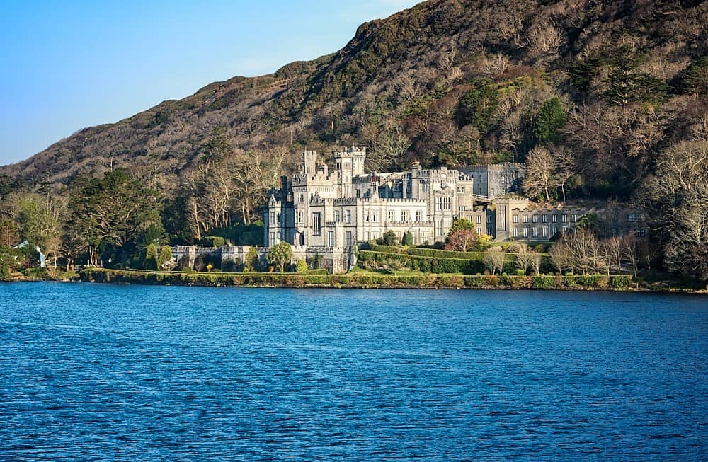 Quarry in Abbeyland GreatQuarry · 700 yd
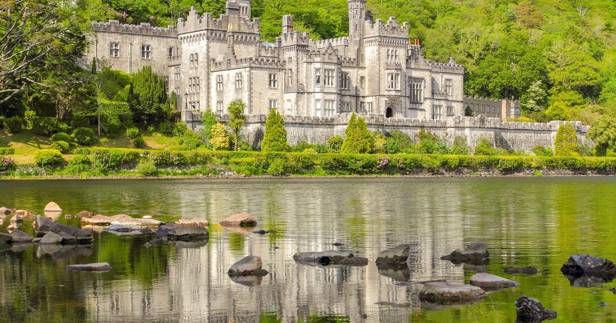 LisphubbleFairy fort / earthen ringfort · 813 yd
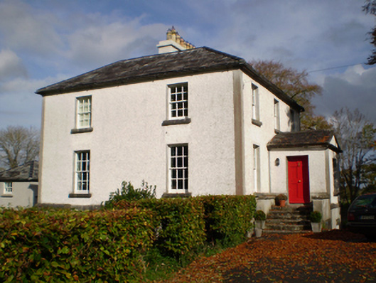 The Vicaragerectory/glebe/vicarage/curate's house · 1060 yd
 EnclosureArchaeological place · 1191 yd
 Redmond HillMountain / peak · 1.2 mi
 Lismore CastleCastle, tower house · 1.8 mi
 European ashEuropean ash · 1.9 mi
 Silver FirSilver Fir · 2.8 mi
 Ballymore CastleCastle, tower house · 2.8 mi
 MeelickVisitor information · 3.1 mi
 Clonfert CathedralHeritage attraction · 3.2 mi
 Killeen's IslandIsland · 3.2 mi
Other information
Photo: Credit not shown in the picture search · Rights wording not checked; contact us if this picture should be removed