What is recorded here
A mound of field clearance debris in the site's interior is locally reputed to mark the location of the now inaccessible Man-made underground passage (KE106-024001-).
The above description is derived from A. O'Sullivan and J. Sheehan (compilers), 'The Iveragh peninsula: an archaeological survey of South Kerry'. Cork University Press (1996), no. 660. In certain instances the entries have been revised and updated in the light of recent research.
Date of upload: 29 July 2013
The monument record does not grant public access. Check the route and ask the landowner before entering private land.
- What survives
- Recorded monument
Places near here
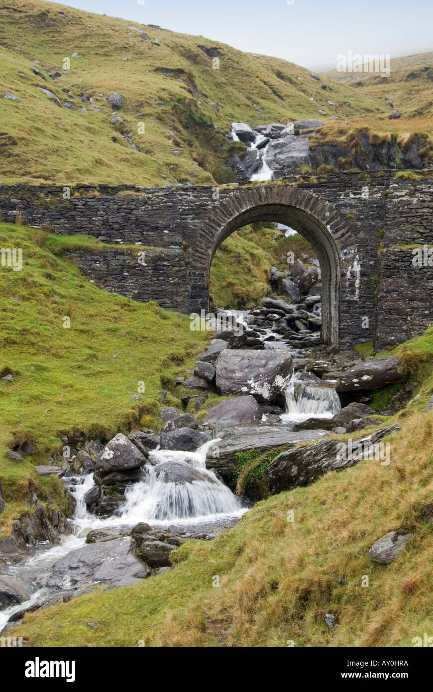 Indicated (1846).Fairy fort / stone ringfort · 1 yd
 IndicatedFairy fort / stone ringfort · 322 yd
 MineMine, copper · 1185 yd
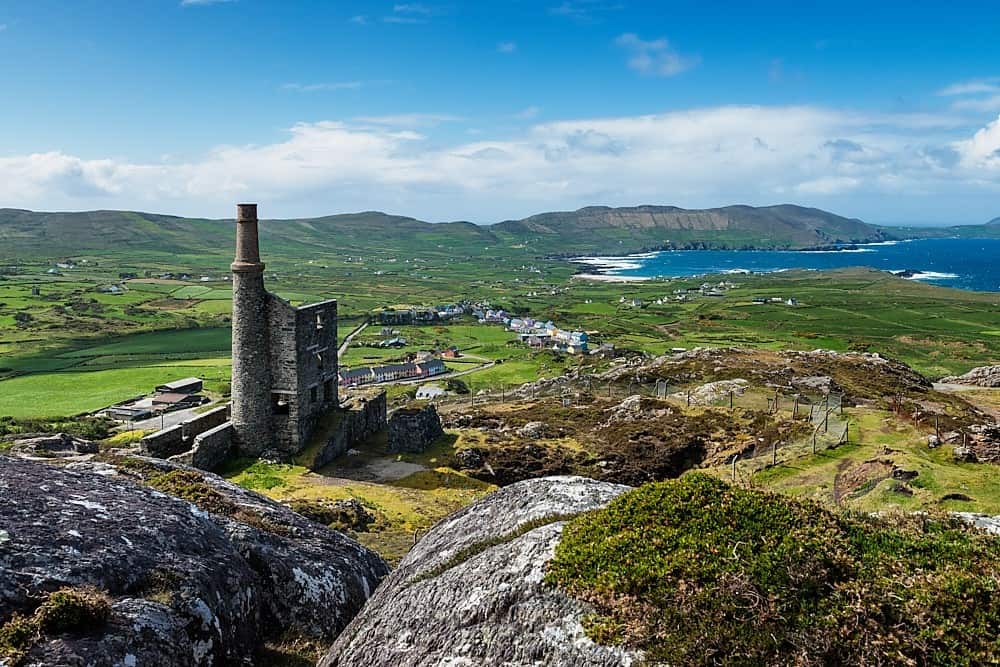 Copper Mines (Disused)Mine, copper · 1227 yd
 Cahernageeha MountainMountain / peak · 1.1 mi
 Mullach BogMountain / peak · 1.6 mi
 Trá an Ghleanna Bhig / Glanbeg BeachBeach / strand · 1.7 mi
 Ogham StoneVisitor information · 1.9 mi
 Trá An Ráth / Rath BeachBeach / strand · 2.1 mi
 Derrynane House / Teach Dhoire FhionáinHeritage attraction · 2.2 mi
 Castle Cove (in Ruins)Castle, tower house · 2.3 mi
 Páirc Náisiúnta Stairiúil Dhoire Fhíonáin / Derrynane National Historic ParkNature reserve · 2.3 mi