What is recorded here
Fairy forts are not fantasy, they are the oldest surviving shape of human thought made visible in earth. A ring is the smallest complete form a living being can draw, large enough to hold a person, an event, a memory or a god. Every culture that could mark land at all returned to the ring because the ring completes the difference between inside and outside. The chamber, the temple, the fortress, the dance floor and the burial mound are all later inventions built upon that first completed line.
Located on a rise that is on a slight E-facing slope in a gently undulating landscape. This was described in 1968 (SMR file) as a raised oval and grass-covered area (dims 59m NE-SW; 47m NW-SE) defined by a scrub-covered earthen bank (at SW: Wth of base 5.5m; int. H 0.4m; ext. H 1.6m) SSW-WNW and elsewhere by a slight internal lip and a scrub-covered external scarp (at NE: Wth 4m; H 2.7m ), with traces of external fosse W-NNE. There were modern gaps in the perimeter at ESE, W and NNW but the original entrance was not determined. The visible profile had been removed by 1995 (OSAP).
The above description is derived from the published 'Archaeological Inventory of County Meath' (Dublin: Stationery Office, 1987). In certain instances the entries have been revised and updated in the light of recent research.
Compiled by: Michael Moore
Date of upload: 10 July 2007
Amended: 2 August 2022, 15 December 2022
The monument record does not grant public access. Check the route and ask the landowner before entering private land.
- What survives
- Recorded monument
Places near here
 Castletown FortCastle, motte and bailey · 697 yd
 Enclosure in HeadstownEnclosure · 798 yd
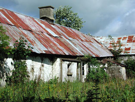 farm housefarm house · 890 yd
 Headstown ForestForest · 955 yd
 HeadstownMountain / peak · 1192 yd
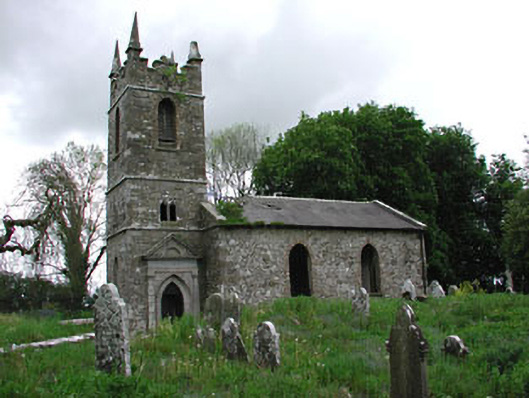 Saint Patrick's Church (Castletown)church/chapel · 1302 yd
 Fox CovertWood · 1.2 mi
 Ugly HillMountain / peak · 1.6 mi
 Drakerath CastleCastle, unclassified · 1.9 mi
 Nobber GreenwayMemorial · 2.4 mi
 Owenroe and Moynalty DrainageMemorial · 3.3 mi