
What is recorded here
Castleruddery Lower hides beneath the house on a flat-topped Wicklow ridge, denied even a definite castle label in official lists. O’Flanagan wrote in 1928 that the former castle stood where the house now stands, yet no wall, ditch or broken stone remains visible at ground level. The building may be sitting on the erased heart of the site, turning memory into foundation rather than display.
On level ground on the summit of a flat-topped ridge. Listed as ‘Castle, possible, site’ in the RMP (1995). Described in the OS Letters (O’Flanagan 1928, 91) as a former castle ‘where Castleruddery House stands’. Not visible at ground level.
Compiled by: Mary Tunney
Date of upload: 5 December 2012
Castleruddery Lower was likely built by the Blake family in the 17th century, as part of their extensive landholdings in the area. It is remembered as an earlier, smaller precursor to the main Castleruddery House, reflecting the evolution of the estate over time.
The monument record does not grant public access. Check the route and ask the landowner before entering private land.
- What survives
- Recorded monument
Places near here
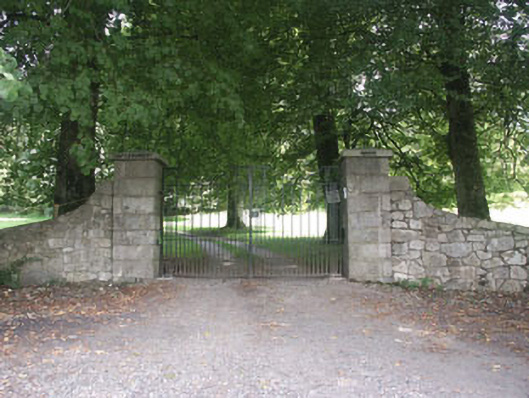 Castleruddery Housecountry house · 26 yd
 Castleruddery MotteArchaeological place · 352 yd
 Enclosure in Castleruddery LowerEnclosure · 642 yd
 ToberavosterHoly well · 718 yd
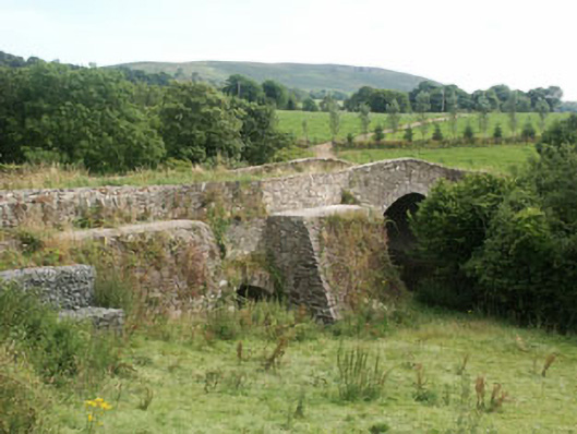 George's Bridgebridge · 867 yd
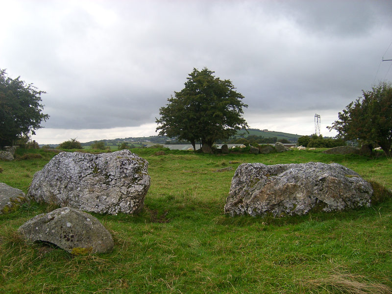 CastleCastle, motte · 1289 yd
 English hollyEnglish holly · 1579 yd
 Ballyhook HillMountain / peak · 1.6 mi
 Pedunculate OakPedunculate Oak · 2.8 mi
 Saint Brigit's Mass StoneNamed rock · 2.9 mi
 Saint Brigit's ChairNamed rock · 2.9 mi
 Sam McAllistair GraveMemorial · 3.3 mi
Other information
Photo: Credit not shown in the picture search · Rights wording not checked; contact us if this picture should be removed