What is recorded here
Crannog in Castlerogy is a submerged circular island at the southwest edge of George's Lough in County Leitrim. It holds a ten-metre mound of earth and stone ringed by broken timber stakes, marking a home built where water and land collided. The quernstones recovered nearby suggest people ground grain and lived beside the lough before the lake rose to swallow the path.
Located at the SW edge of the subrectangular George's Lough (dims. c. 350m N-S; c. 160-280m E-W), c. 50m from the S and W shores. It is not depicted on the 1835 or 1944 editions of the OS 6-inch map but it is visible on aerial photographs (GSIAP: H 131-0). An overgrown circular mound of earth and stone (diam. 10m; H 1m) is surrounded W-N by upright and recumbent timber stakes (L c. 0.5m; diam. c. 0.15m). Two quernstone rough-outs and a quernstone fragment were found at the monument.
The above description is derived from 'The Archaeological Inventory of County Leitrim' compiled by Michael J. Moore (Dublin: Stationery Office, 2003). In certain instances the entries have been revised and updated in the light of recent research.
Date of upload: 23 September 2008
The monument record does not grant public access. Check the route and ask the landowner before entering private land.
- What survives
- Recorded monument
Places near here
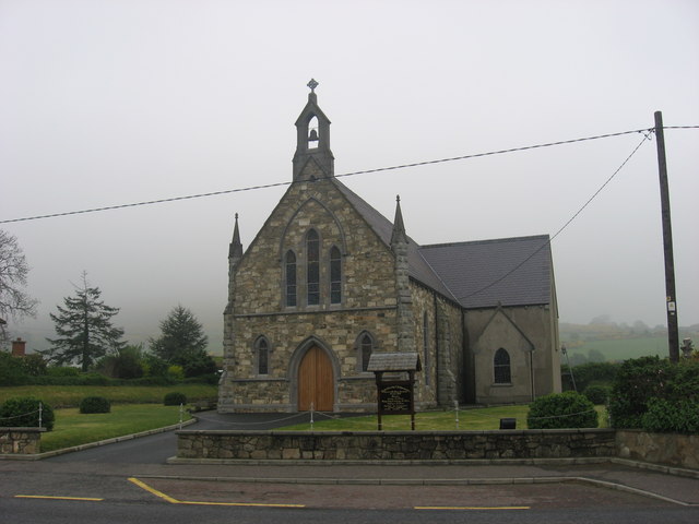 Church in OughteraghChurch · 881 yd
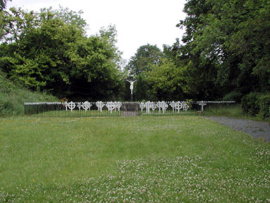 Convent of Mercygraveyard/cemetery · 1175 yd
 St. Bridgets WellHoly well · 1394 yd
 John Joe McGirlMonument · 1468 yd
 DrumbadMountain / peak · 1512 yd
 Cromlin Bridge WoodWood · 1.9 mi
 DrumgownaghMountain / peak · 2.4 mi
 Turf IslandIsland · 2.4 mi
 Buck IslandIsland · 2.5 mi
 European ashEuropean ash · 2.7 mi
 CastleCastle, tower house · 3.6 mi
 CastleforeCastle, tower house · 4.3 mi