What is recorded here
Fairy forts are human places misnamed because people stopped remembering the hands that built them. In Castlemagner, a double-ramped ring stood about forty metres wide on an east-facing slope, large enough for a household, a yard and the noise of ordinary life. Ploughing and stone-clearancing flattened much of it, yet a curved ditch still marks the south-western edge and a shadow in crops reveals the second rampart. The fairies inherit what forgetting abandons.
In tillage, on gentle E-facing slope. Depicted on 1842, 1905 and 1937 OS 6-inch maps as hachured circular enclosure (diam. c. 35m); with field boundary to W concentric to enclosure on 1905 and 1937 OS 6-inch maps. Levelled; arc formed by overgrown fosse survives SW->NW, filled with field clearance stone; heavily overgrown earthen field boundary (H 1.1m) respects fosse. Bivallate circular enclosure visible as cropmark in aerial photograph (CASAP), with field boundary to W forming remains of second bank; roughly rectangular annexe (L c. 34m N-S) appears to adjoin ringfort at SE side. Recorded by Bowman (1934, 36) as double-ramparted fort in P. Brown's (diam. 41yd), outer rampart levelled; inner rampart c. 8ft H. Circular enclosure c. 40m to NE (CO024-10603-); ring ditches c. 200m to NNE (CO024-226---) and c. 160m to N (CO024-225---); relict field system (CO024-10604-) in surrounding fields.
The above description is derived from the published 'Archaeological Inventory of County Cork. Volume 4: North Cork' (Dublin: Stationery Office, 2000). In certain instances the entries have been revised and updated in the light of recent research.
Date of upload/revision: 14 January 2009
The monument record does not grant public access. Check the route and ask the landowner before entering private land.
- What survives
- Recorded monument
Places near here
 Field system in CastlemagnerField system · 104 yd
 Enclosure in CastlemagnerEnclosure · 111 yd
 Pump HoPump-house · 544 yd
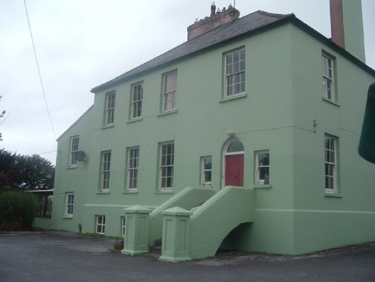 The Old Rectoryrectory/glebe/vicarage/curate's house · 638 yd
 Castle Magner (in Ruins)Bawn · 768 yd
 European YewEuropean Yew · 1398 yd
 Graveyard in Ballygiblin (duhallow By.)Graveyard · 1712 yd
 Burial ground in AssolasBurial ground · 1.0 mi
 Ballyheen Castle (Site of)Castle, unclassified · 1.4 mi
 St Fursey's WellSpring · 3.2 mi
 Kanturk CastleHeritage attraction · 3.6 mi
 Hanna SheehyMemorial · 3.8 mi