What is recorded here
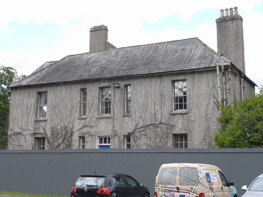
Detached former country house with basement, built 1728, having three-bay two-storey entrance front to east, three-storey seven-bay garden front to south with three-bay breakfront, flanked by two-storey wings to garden front with canted bays, and having series of gabled projections to rear. Now disused. Steeply pitched natural slate roofs (double-pile to garden front) with black clay ridge tiles and lead valleys, hipped to east and west blocks and to garden wings. Conical metal vents to ridge of westernmost block. Rendered chimneystacks of varying heights with clay pots. Cast-iron guttering on iron drive-through brackets and cast-iron downpipes. Roughcast cement rendered walls throughout. Square-headed window openings with granite sills and timber sliding sash windows with much cylinder glass, six-over-six pane to ground and first floors without horns, and two-over-two pane to canted bays and rear elevations with ogee and convex horns. Entrance bay and garden breakfront have sidelights to ground and first floors. Westernmost gable to rear abutted by flat-roofed entrance block having Venetian-style entrance with recessed porch. Southwest corner abutted by two-storey red brick wing and further single-storey wing with calp limestone walls and buff brick window surrounds with granite sills and three-over-three pane timber sliding sash windows with ogee horns. Defensive turret to south elevation of single-storey building.
The earliest building on the Ordnance Survey site, built as Castleknock Lodge and commonly known as Mountjoy House, this was the suburban villa of Luke Gardiner, built at different stages, with the possible involvement of Edward Lovett Pearce. The early to mid-eighteenth-century interior is well documented and, historically, is one of the most important residences in Phoenix Park. Its development is evident in the varying roof-lines and complex plan. Retaining much of its external detailing, the building forms the focal point of the Ordnance Survey complex, while also forming part of the wider collection of historic structures spread across the park.
This does not grant access. Most recorded buildings are privately owned; view them only from public ground unless the owner allows entry.
Places near here
 Mountjoy BarrackHouse, 16th/17th century · 13 yd
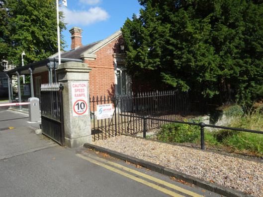 Ordnance Survey Irelandha ha · 101 yd
 Bunchloch (Foundation Stone)Monument · 515 yd
 National Famine WayWalking route · 704 yd
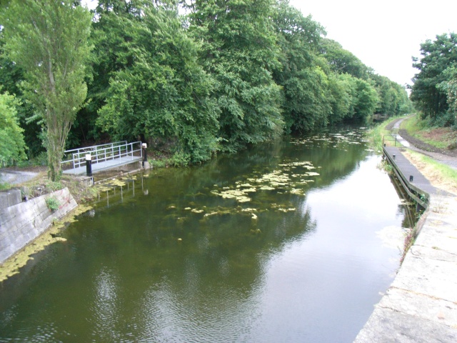 The Royal Canal WayWalking route · 709 yd
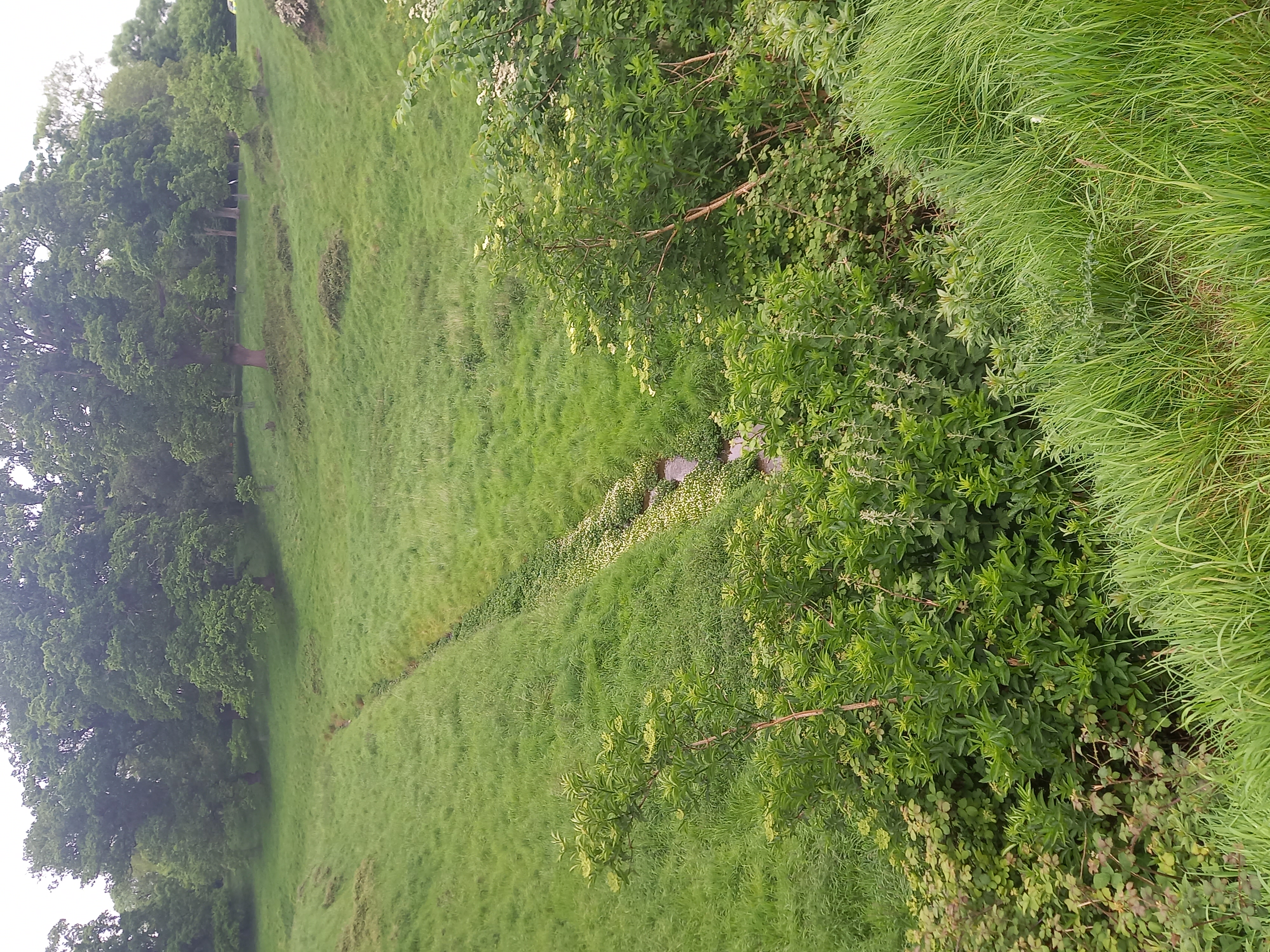 Furry GlenWood · 717 yd
 Oldtown WoodWood · 758 yd
 ExcavationExcavation, miscellaneous · 1227 yd
 Graveyard in Palmerstown LowerGraveyard · 1268 yd
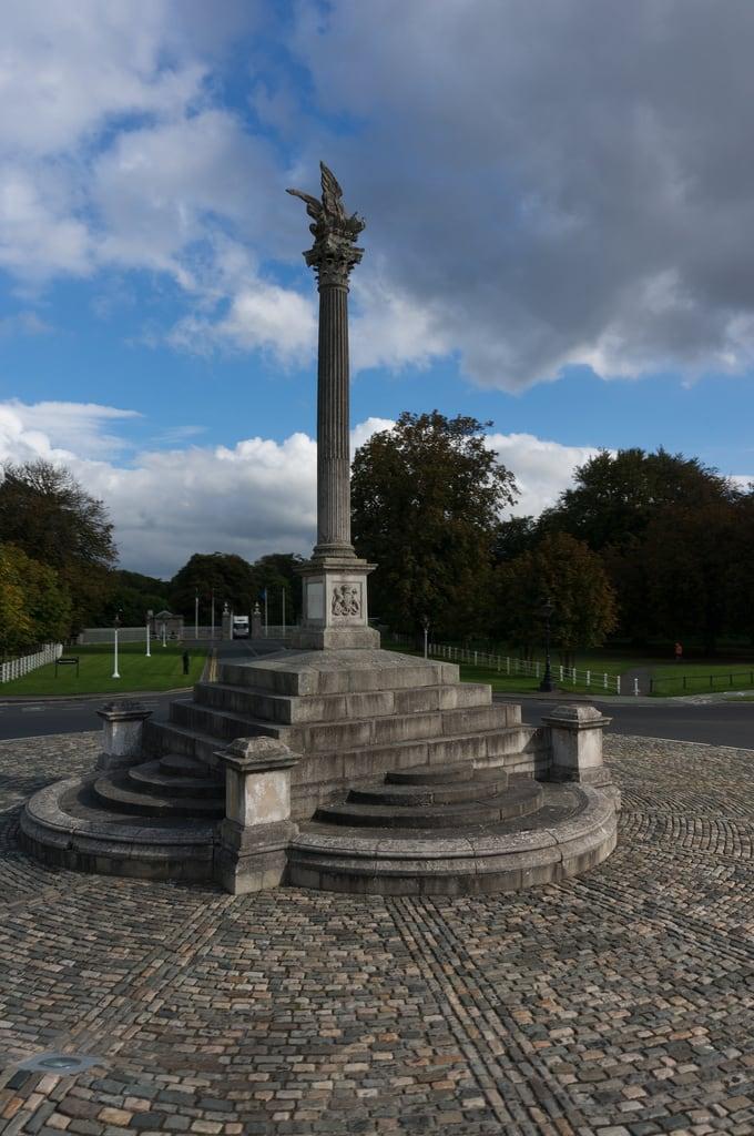 Martin Savage Memorial MonumentMonument · 1534 yd
 Castleknock CastleCastle · 1683 yd
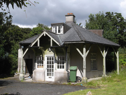 Rose Cottageworker's house · 270 yd
Other information
Photo: National Inventory of Architectural Heritage · Website use allowed for educational or private purposes with source credit