What is recorded here
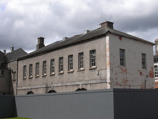
Attached nine-bay two-storey map store to Ordnance Survey of Ireland, built 1891, now in use as offices, having single-bay lean-to addition to south end. Pitched slate roof with brick chimneystacks, one stepped, and cast-iron rainwater goods. Roughcast rendered walls to east elevation with limestone ashlar plat-band between floors and painted rendered walls to rear and side elevations. Six-over-six pane timber sliding sash windows to first floor and three stepped arches to ground floor with limestone keystones meeting plat-band. Rear elevations have mixture of single-pane timber sash windows and replacement timber casement windows, and addition has geometrical glazing to first floor window, with stone sills.
This former map store was a key building for the Ordnance Survey, a body that produced one of the world's earliest country-scale detailed surveys. This building has classical detailing that enhances the building to which it is attached, Mountjoy House. The arcading and limestone details add visual interest and craft quality.
This does not grant access. Most recorded buildings are privately owned; view them only from public ground unless the owner allows entry.
Places near here
 Mountjoy BarrackHouse, 16th/17th century · 20 yd
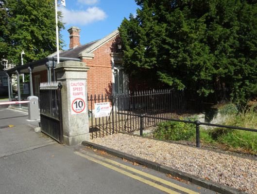 Ordnance Survey Irelandha ha · 108 yd
 Bunchloch (Foundation Stone)Monument · 499 yd
 National Famine WayWalking route · 688 yd
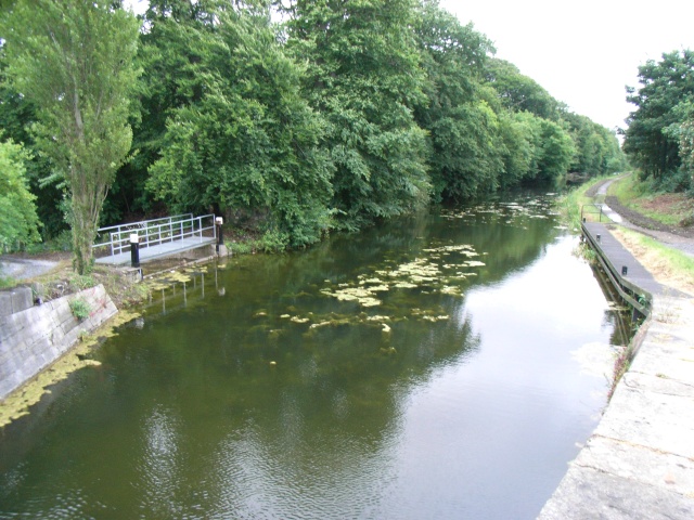 The Royal Canal WayWalking route · 694 yd
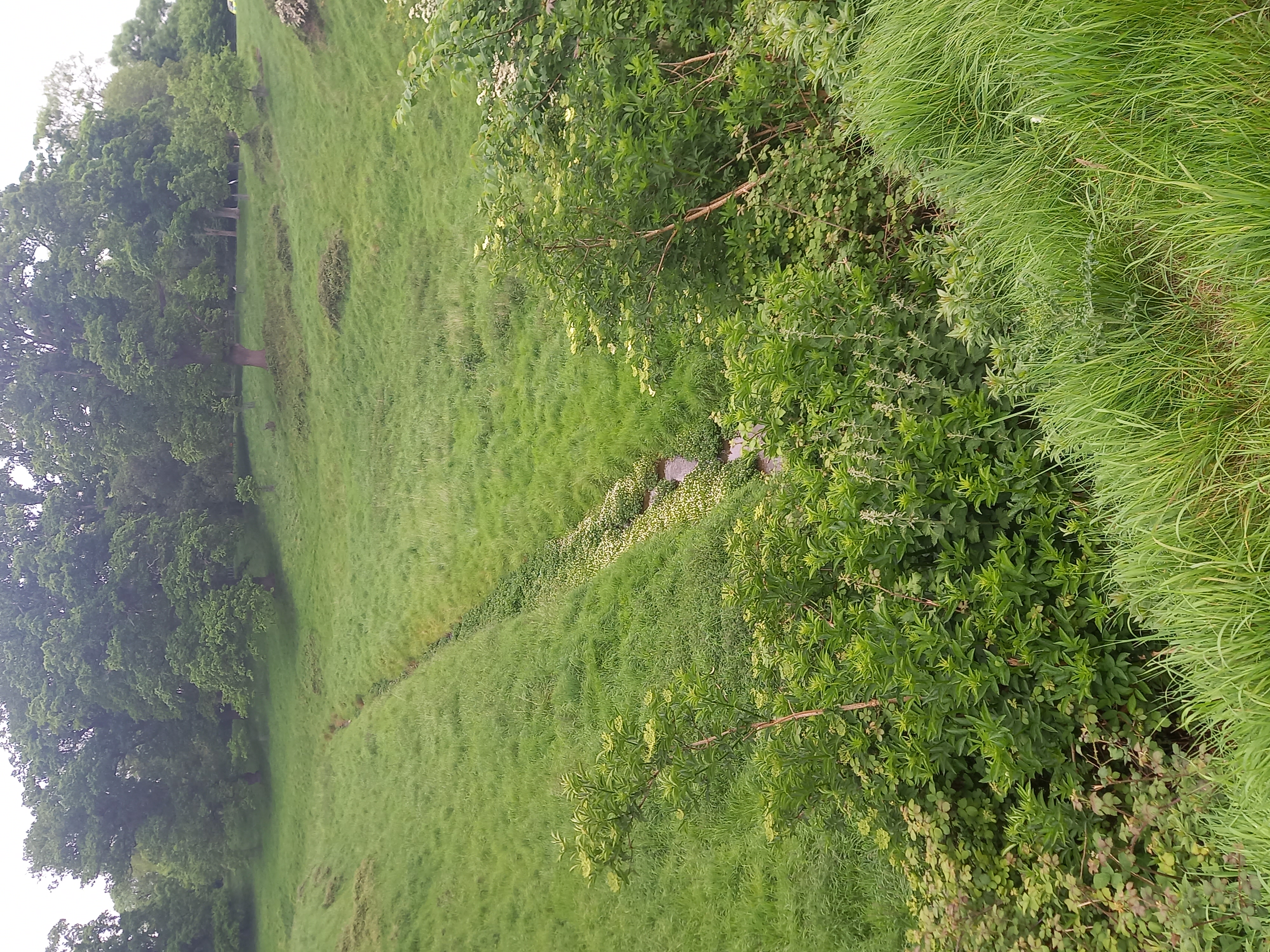 Furry GlenWood · 742 yd
 Oldtown WoodWood · 777 yd
 ExcavationExcavation, miscellaneous · 1216 yd
 Graveyard in Palmerstown LowerGraveyard · 1284 yd
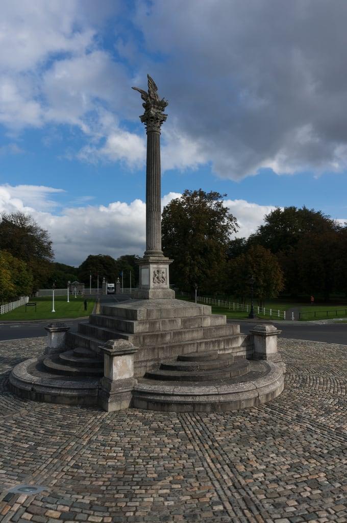 Martin Savage Memorial MonumentMonument · 1514 yd
 Castleknock CastleCastle · 1673 yd
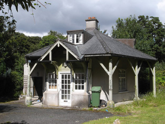 Rose Cottageworker's house · 299 yd
Other information
Photo: National Inventory of Architectural Heritage · Website use allowed for educational or private purposes with source credit