What is recorded here
Aerial photograph (GB89.AH.06) shows cropmark of a single ring-ditch.
Compiled by: Dr Gillian Barrett for the Archaeological Survey of Ireland.
Date of upload: 10 June 2009
The monument record does not grant public access. Check the route and ask the landowner before entering private land.
- What survives
- Recorded monument
Places near here
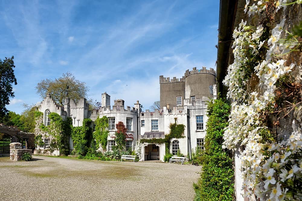 Enclosure in CastlegraceEnclosure · 503 yd
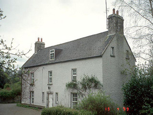 Milkpark Housefarm house · 812 yd
 Enclosure in CarrickslaneyEnclosure · 871 yd
 Castlegrace MoatCastle, motte · 997 yd
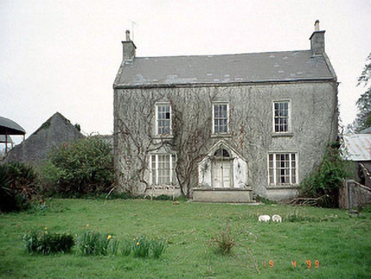 Aghade Corn Millmiller's house · 1159 yd
 Scots PineScots Pine · 1.2 mi
 Altamont Gardens MapVisitor information · 1.3 mi
 Altamont House and GardensHeritage attraction · 1.3 mi
 Church (in ruins), GraveyardChurch · 1.6 mi
 CastleCastle, motte and bailey · 2.8 mi
 English hollyEnglish holly · 3.9 mi
 Kilmurry Church (in ruins), GraveyardChurch · 4.0 mi