What is recorded here
In level pasture. No visible surface trace. Field boundary to E has been removed. Visible on 1st 1840 edition OS 6-inch map as a substantial sub-circular enclosure (dims.). Enclosures (TS069-056----) located c. 210m to NE and (TS069-053----) is c. 390m to W.
Compiled by: Jean Farrelly
Date of upload: 26 August 2011
This remains an important historical record, but the official description says the monument is no longer visible or has been destroyed. The monument record does not grant public access. Check the route and ask the landowner before entering private land.
- What survives
- No visible remains or recorded as destroyed
Places near here
 Enclosure in RathsallaghEnclosure · 235 yd
 Enclosure in CastleblakeEnclosure · 415 yd
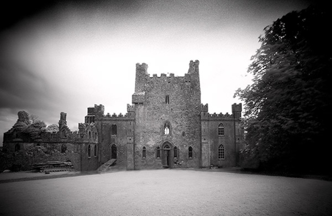 Castle Blake in ruinsCastle, tower house · 684 yd
 Site of Black CastleCastle, unclassified · 1414 yd
 Mora Church (in ruins)Church · 1.2 mi
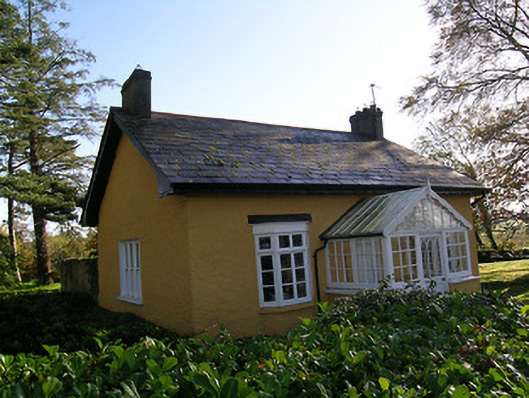 Tullamain Castlegate lodge · 1.4 mi
 Pedunculate OakPedunculate Oak · 4.0 mi
 European YewEuropean Yew · 4.7 mi
 Cashel Folk MusuemMuseum · 5.6 mi
 The Rock Of CashelVisitor information · 5.7 mi
 Cormac's ChapelHeritage attraction · 5.8 mi
 Siege of Cahir Castlesiege · 7.4 mi