What is recorded here
Rosse O’Ferrall held one castle and five cartrons in Lisnanagh when an Inquisition recorded the claim in 1604. An early 17th-century map of Granard barony still draws the tower house, yet the exact ground has vanished from modern knowledge. The castle may be buried under grass, hidden beneath a field or lost entirely, but it resisted forgetting long enough to enter history.
Depicted as a tower house-type structure on an early 17th-century map of Granard barony (BL, Cotton MS Augustus I.i.47). An Inquisition taken in 1604 recorded that Rosse O’Ferrall was ‘seised of 5 cartrons of land and 1 castle in Lisnenona (Anon. 1826, Inq. 2 Jac 1). The precise location of the castle has not been identified.
Compiled by: Caimin O'Brien
Date of upload: 4 November 2012
Rosse O’Ferrall held Castle Lisnanagh in the early 17th century, as recorded in a 1604 inquisition. It is remembered as part of the Gaelic landholding landscape in the Granard barony during the late medieval period.
The monument record does not grant public access. Check the route and ask the landowner before entering private land.
- What survives
- Recorded monument
Places near here
 Enclosure in LisnanaghEnclosure · 363 yd
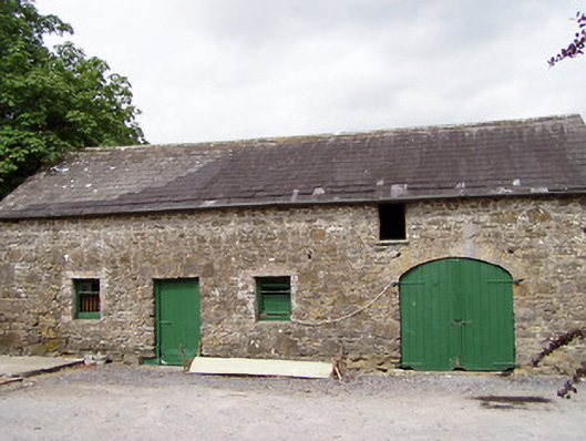 Lisnanagh Househouse · 591 yd
 Ecclesiastical enclosure in MoatfarrellEcclesiastical enclosure · 1463 yd
 The Mansemanse · 1467 yd
 CastleCastle, ringwork · 1.0 mi
 Moat & CastleCastle, motte and bailey · 1.2 mi
 Oldtown DemesneForest · 2.1 mi
 Oldtown CopseWood · 2.1 mi
 Edgeworthstown BypassMemorial · 2.2 mi
 Clonfin Ambush MemorialMemorial · 4.4 mi
 Bully's Acregraveyard/cemetery, unknown · 4.5 mi
 National Famine WayWalking route · 5.9 mi