What is recorded here
Clonmackenbeg Castle vanished before human memory, leaving only a battlemented ghost on a 17th-century map and a house that may have grown in its absence. The angle towers rise above the central block in ink, not stone, suggesting the ground itself forgot the building. Whatever lived there stopped casting a shadow, joining the many names that sound like places but refuse to point at anything.
The precise location of Clonmackenbeg Castle has not been identified. A large castellated house-like structure is depicted in the townland of 'Clonemakinbeg' on the 17th century Down Survey map of the Barony of North Liberties (Hib. Reg.; Westropp 1906-7, 82). On this map the castle is depicted as a battlemented central block flanked on either side by an angle tower which rises above the central block. The Down Survey map shows a second castle (LI005-047----) is shown standing in the adjoining townland to the SW in Clomackenbeg which now forms part of Clonmacken townland. The RMP map for Co. Limerick identified Clareview House [ITM 554912/657262] as the possible site of the castle. No surface remains visible of any castle at this location and no supporting cartographic evidence to suggest that this was the precise location of Clonmackenbeg Castle.
See attached 1657 Down Survey barony map of North Liberties (Hib. Reg.) showing Clonmacken Beg Castle
Compiled by: Caimin O'Brien
Date of upload: 09 January 2020
The monument record does not grant public access. Check the route and ask the landowner before entering private land.
- What survives
- Recorded monument
Places near here
 Enclosure in ClonmackenEnclosure · 441 yd
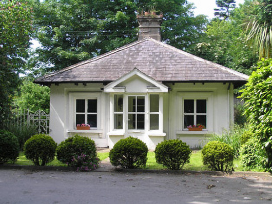 Villiers Schoolgate lodge · 723 yd
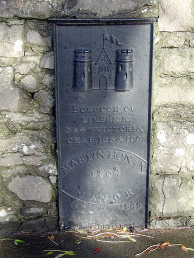 milestone/milepostmilestone/milepost · 873 yd
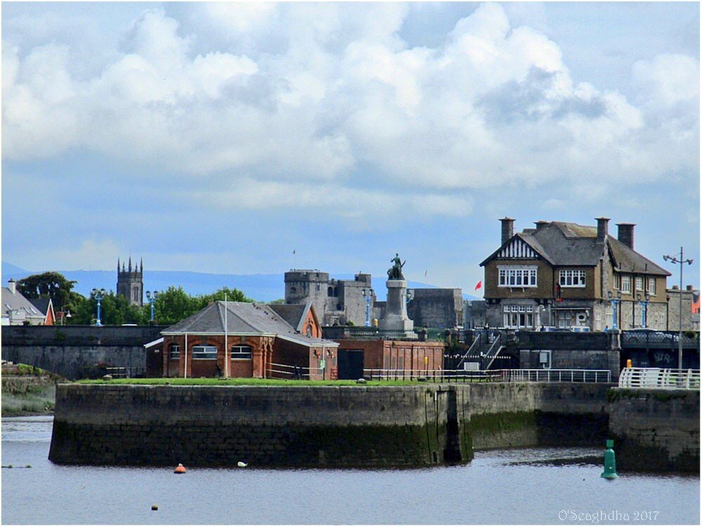 Enclosure in Coonagh EastEnclosure · 1102 yd
 Coreen Castle (in ruins)Castle, unclassified · 1.1 mi
 Coonagh NatureNature reserve · 1.2 mi
 Limerick Seamen's MemorialMemorial · 1.5 mi
 Saint John Paul IIMemorial · 1.5 mi
 Castle Blake or Farranshone (Site of)Castle, unclassified · 1.6 mi
 King's IslandIsland · 1.9 mi
 Ardnacrusha ToursMuseum · 3.7 mi
 Seán Keating GalleryGallery · 3.7 mi