What is recorded here
Cloghinch castle stood on a sharp esker above the Nenagh River, watching the old bridge and belonging to Philip Kennedy when the Civil Survey found only an irreparable stump. It vanished so completely that no stone still marks its footprint, leaving behind a map point, a family name and the suspicion that the ground itself forgot the building.
Situated on top of an esker immediately N of the Nenagh River and overlooking Cloghinch Old Bridge (TN033-015----). A castle is depicted on a Down Survey Map (1655-8) in this general area and there is a tradition of a Kennedy castle on top of this esker. The 1654-56 Civil Survey recorded that 'Upon ye sd. lands standeth the stump of a Castle irrepaireable whout any other buildings' (Simington 1934, 229). In 1640 this castle belonged to Philip Kennedy of Cloghinch (ibid.). No visible remains at ground level. The precise location of this castle has not been identified. The castle was located in the fields to the SW of Cloghinch Bridge and S of the river based on its depiction on the Down Survey map of Upper Ormond Barony and the Down Survey parish map of Templederry.
The above description is derived from 'The Archaeological Inventory of County Tipperary. Vol. 1 - North Tipperary' compiled by Jean Farrelly and Caimin O'Brien (Dublin: Stationery Office, 2002). In certain instances the entries have been revised and updated in the light of recent research.
Compiled by: Caimin O'Brien
Date of revised upload: 19 September 2016
The monument record does not grant public access. Check the route and ask the landowner before entering private land.
- What survives
- Recorded monument
Places near here
 Cloghinch Old BridgeBridge · 79 yd
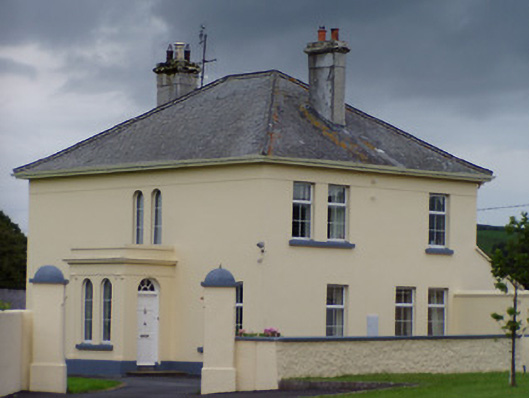 Catholic Church of the Immaculate Conceptionpresbytery/parochial/curate's house · 843 yd
 Site of Cloghonan CastleCastle, unclassified · 1264 yd
 Castle OtwayCastle, tower house · 1426 yd
 Enclosure in Knockfune (aghnameadle Par.)Enclosure · 1.3 mi
 Enclosure in Shanballyard (aghnameadle Par.)Enclosure · 1.4 mi
 CoumsallahaunMountain / peak · 1.5 mi
 Killavalla WoodForest · 1.7 mi
 Knockadigeen HillMountain / peak · 1.8 mi
 Sweet ChestnutSweet Chestnut · 6.4 mi
 Silvermines ViewpointViewpoint · 6.8 mi
 Our Lady Assumed into HeavenMemorial · 7.3 mi