What is recorded here
Castlefarm may have swallowed Ballinamona Beg Castle whole. The Down Survey placed the small castle south-east of the church, not west as later writers claimed. Houses, roads and forgotten lives may have paved over its stones, leaving only the name to mark where the wall once stood.
Westropp (1906-7, 184-5) incorrectly identified the castle (LI032-095001-) standing to the W of Ballinamona Church (LI032-095002-) as Ballinamona Beg Castle (LI032-166----). The 1654-7 Down Survey parish map shows Ballinamona More Castle stood in the area to the W of the church while Ballinamona Beg Castle stood to the SSE in the present townland of Castlefarm. The precise location of Ballinamona Beg Castle has not been identified but Castlefarm may have been built on or close to the site of this castle.
Westropp (1906-7, 184) recorded the following details about Ballynamona Beg Castle; ''Vill de Mora (C.S.P.L). 1583 Two C.[astle]s in Ballynemonybeg J. Browne (Des. R., 67b; Peyton, 12b; Inq. Exch., 11), 1607 N. Haward held it (Pat. R.), in 1637, F. Fitton of Anny (Inq. Chan., 191), and in 1655, Morris Baggott (C.S., xxxi., p. 24).'. Tower House like castle depicted on the 1654-7 Down Survey map of Ballynamona parish map (NLI, MS 718).
See attached Down Survey map showing the castle of Ballynamona Beg.
Compiled by: Caimin O'Brien
Date of upload: 26 February 2020
The monument record does not grant public access. Check the route and ask the landowner before entering private land.
- What survives
- Recorded monument
Places near here
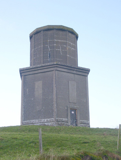 water towerwater tower · 429 yd
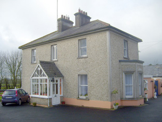 The Villahouse · 501 yd
 BarrowBarrow, ring-barrow · 529 yd
 St Johns Well (Site of)Holy well · 977 yd
 Ballynamona Castle (Site of)Castle, unclassified · 1.3 mi
 Flat cemetery in Knockainy WestFlat cemetery · 1.3 mi
 Desmond Castle (in ruins)Castle, unclassified · 1.7 mi
 KnockainyMountain / peak · 1.9 mi
 Kilteely HillMountain / peak · 2.7 mi
 St. Patrick's WellSpring · 3.1 mi
 St Patrick's WellSpring · 4.0 mi
 Ballinvreena LoopVisitor information · 6.5 mi