
What is recorded here
Enclosure (LI032-049001-) and ring-barrows described in 1942-3 as following; 'This is a circular earthen platform surrounded by two banks and two fosses. The entrance is not recognisable. The maximum height of the platform over the fosse-bottom is 5' [1.5m] and the overall diameter is 306' [93m]. A fence and drainage trench have cut through the west side of the defences and another trench has cut through them on the south. Situated in wet low-land. In the field immediately to the N.E. of this there were at least three ring-barrows [LI032-149002-/003-004-], one of which now remains. This consists of a very slight mound surrounded by a fosse. The overall diameter is 18' [6m]. The field is a meadow and the other barrows were levelled to facilitate the operation of machinery therein. Nothing was found when they were cleared away' (O'Kelly 1942-3, 237). Cropmark of enclosure (LI032-149001-) visible today on Digital Globe aerial photographs. No cropmark visible today of levelled barrows in field to NE of enclosure.
Compiled by: Caimin O'Brien
Date of upload: 4 March 2020
A Neolithic ring-barrow, dating to approximately 3000–2500 BCE, typically associated with early ceremonial or funerary practices. Its construction with multiple banks and fosses suggests a significant communal effort and possible ritual importance in the local landscape.
The monument record does not grant public access. Check the route and ask the landowner before entering private land.
- What survives
- Recorded monument
Places near here
 BarrowBarrow, unclassified · 79 yd
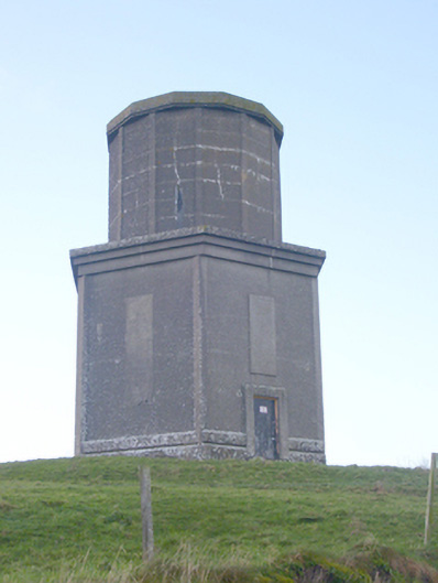 water towerwater tower · 348 yd
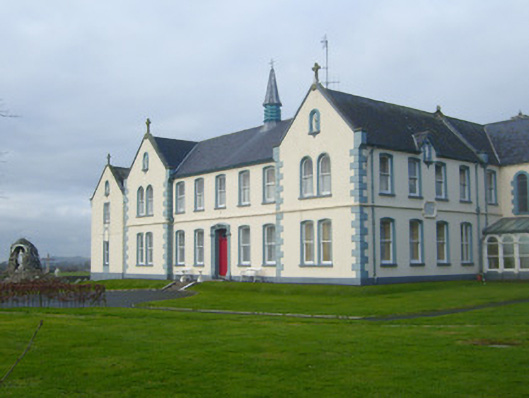 Presentation Conventconvent/nunnery · 472 yd
 St Johns Well (Site of)Holy well · 651 yd
 Flat cemetery in Knockainy WestFlat cemetery · 1.4 mi
 CastleCastle, motte · 1.4 mi
 Ballynamona Castle (Site of)Castle, unclassified · 1.6 mi
 Kilteely HillMountain / peak · 2.8 mi
 St. Patrick's WellSpring · 3.3 mi
 St Patrick's WellSpring · 3.7 mi
 Ballinvreena LoopVisitor information · 6.3 mi
 SlievereaghMountain / peak · 7.2 mi
Other information
Photo: Credit not shown in the picture search · Rights wording not checked; contact us if this picture should be removed