
What is recorded here
Castle, motte in Newtownbond stands at the north end of a narrow ridge, lifting a flat oval platform above wet marshland while a steep scarp and shallow southern ditch mark its edge. In 1295 Sefraid O Fergail razed the castle of Newtown, and this broad raised ground may preserve the footprint of that lost defence. Trees later softened its outline, and Newtownbond House rose nearby, but the ridge still keeps its clear view across the wet land.
At the N end of a N-S ridge in wet marshy terrain with good views in all directions. In 1295 the castle of ‘Newtown’ was ‘razed by Sefraid O Fergail [O'Ferrall]' (Ann. Conn., 195). This roughly oval, flat-topped platform (c. 47m NNW-SSE; c. 16m ENE-WSW) may mark its location. It is defined by a scarp (H 2 4.5m) with a wide fosse (Wth 4m; D 1m) to the S which peters out to the E and W. No trace of the fosse is visible from W-N-E. No entrance feature is evident. On the 1837 ed. of the OS 6-inch map it is depicted as a large grove of trees. On the 1911 edition it is shown as a roughly subrectangular raised area with several trees on top of it, leading to some doubt about its antiquity. It may be a landscape feature associated with Newtownbond House, c. 650m to the SE.
Compiled by: Caimin O'Brien
Date of upload: 28 March 2012
The motte at Newtownbond was razed in 1295 by Sefraid O Fergail (O'Ferrall), indicating its strategic importance in the region during the late 13th century. It is remembered for its location on a prominent ridge and its mention in contemporary annals, reflecting the turbulent Anglo-Norman and Gaelic conflicts of the period.
The monument record does not grant public access. Check the route and ask the landowner before entering private land.
- What survives
- Recorded monument
Places near here
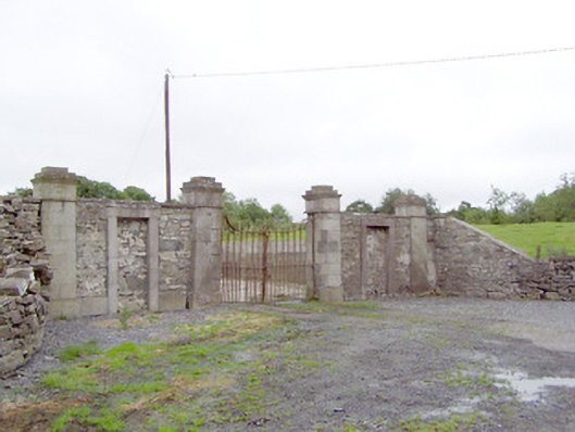 Newtownbond Housegates/railings/walls · 592 yd
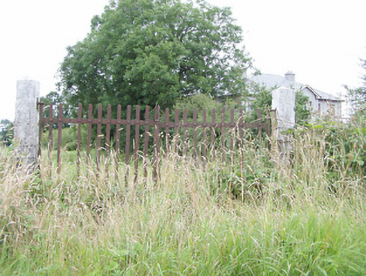 gates/railings/wallsgates/railings/walls · 1020 yd
 BarrowBarrow, unclassified · 1.1 mi
 Enclosure in LisnanaghEnclosure · 1.2 mi
 Moat & CastleCastle, motte and bailey · 1.5 mi
 Bawn in LissardowlanBawn · 1.6 mi
 Bully's Acregraveyard/cemetery, unknown · 3.7 mi
 Saint Mel's CathedralCathedral · 4.7 mi
 First World War MemorialMemorial · 4.8 mi
 National Famine WayWalking route · 5.8 mi
 Graveyard in Curry (ardagh By., Coolamber Ed)Graveyard · 6.3 mi
 Granard MotteMotte-and-bailey castle remains · 8.2 mi
Other information
Photo: Credit not shown in the picture search · Rights wording not checked; contact us if this picture should be removed