What is recorded here
Castle is a small motte and bailey in Rathfalla where a possible ringfort was modified to surround a later mound. The site still shows a raised circular area, broad ditches, an outer bank and gaps where modern work cut through the earth. A house now keeps the remains as a garden, turning an old defensive place into a domestic landscape.
Situated in undulating pastureland, sloping gently to the NE. A slightly raised circular area (diam. 20m) surrounded by a broad depression indicating a possible internal fosse (Wth c. 11.5m) and a flat area with outer bank (Wth 2.3m; int. H 0.5m; ext. H 1.92m) and wide, deep, flat-bottomed fosse (Wth 7.6m; D 0.9m). There are traces of stone revetment on the counterscarp at N and W. The outer bank and fosse are levelled at SE. Gaps in the outer bank at SSW and NNE are the result of bulldozing. According to the landowner this activity revealed a small stone-lined chamber (L c. 1.2m), orientated E-W, under the bank at NNE. A small circular mound (diam. at base c. 18m; H 2.5m) abutting the bank at NW appears to have been disturbed on top (13.2m N-W; c. 8.7m E-W). The top of the bank running out from the base of the motte is only slightly lower than the top of the motte. A modern house immediately SE utilises the site as a garden and it has been partly landscaped as a result. This is a possible ringfort (diam. 54.8m NE-SW) modified to form the bailey for a small motte which has been inserted in the NW quadrant.
The above description is derived from 'The Archaeological Inventory of County Tipperary. Vol. 1 - North Tipperary' compiled by Jean Farrelly and Caimin O'Brien (Dublin: Stationery Office, 2002). In certain instances the entries have been revised and updated in the light of recent research.
Date of upload/revision: 22 September 2008
The monument record does not grant public access. Check the route and ask the landowner before entering private land.
- What survives
- Recorded monument
Places near here
 RathfallaFairy fort / earthen ringfort · 574 yd
 Enclosure in BallintottyEnclosure · 809 yd
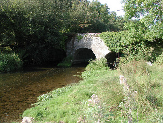 Rathurles Bridgebridge · 952 yd
 Ballintotty Castle (in ruins)Castle, tower house · 1067 yd
 Rathurles CastleCastle · 1101 yd
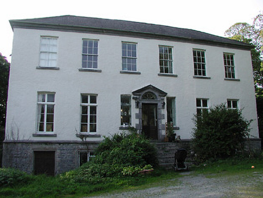 Rathurles Housecountry house · 1207 yd
 James Devaney MemorialMemorial · 2.2 mi
 Gibbet HillMountain / peak · 2.4 mi
 Old BarracksHeritage attraction · 2.7 mi
 Nenagh Heritage CentreMuseum · 2.9 mi
 Ballycapple WoodForest · 4.3 mi
 Knockacraheen HillMountain / peak · 4.5 mi