
What is recorded here
Shanclogh castle vanished into Mayo pasture, leaving only a low rise and a field memory called Téach Mór. Its stones likely reappeared in local walls, turning a ruined house into a living boundary for neighbouring fields. A modern bungalow now sits where the eastern edge once stood, blocking the last trace from view.
In level lowlying pasture, overlooked by a ridge of higher ground to NE.
A rectangular building (c. 14m N–S; c. 10m E–W), annotated ‘Castle (in ruins)’ is shown on the 1838 OS 6-inch map; it is not shown on later editions, where the location is marked ‘Castle (Site of).
No visible surface trace. A low rise (20-30m across) is evident at the location, truncated at E by a modern bungalow. According to local tradition, the field was known as ‘Téach Mór’, and stones from the castle were said to have been used to construct local field walls.
Compiled by: Jane O’Shaughnessy
Date of upload: 1 April 2020
The monument record does not grant public access. Check the route and ask the landowner before entering private land.
- What survives
- Recorded monument
Places near here
 IndicatedFairy fort / earthen ringfort · 890 yd
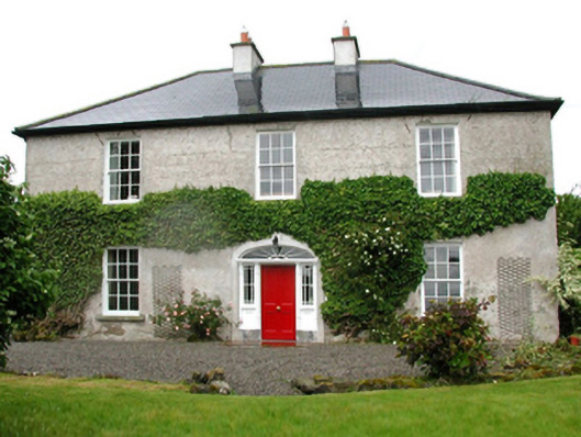 Barnfield Housefarm house · 1296 yd
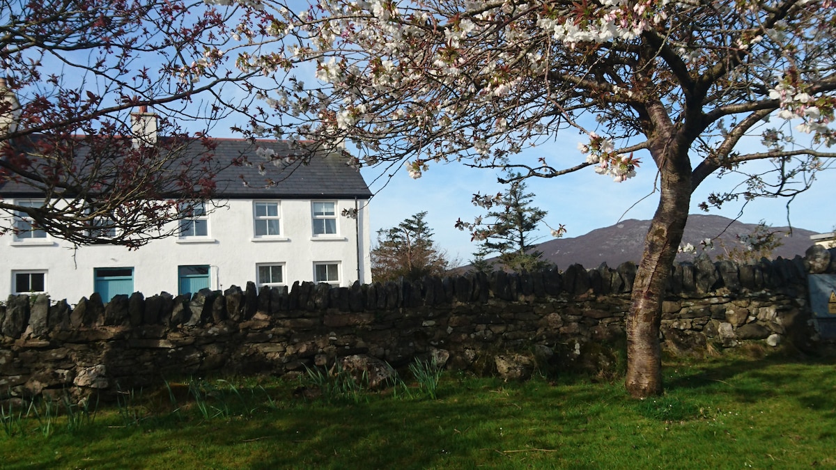 ToberbrideHoly well · 1440 yd
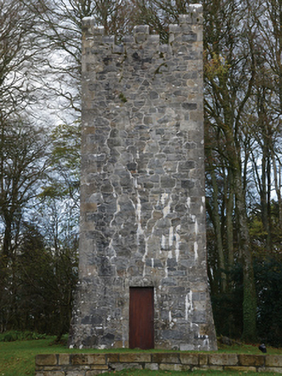 Mount Falconbuilding misc · 1531 yd
 Gull IslandIslet · 1.8 mi
 Cloghans CastleCastle, tower house · 2.1 mi
 Drummin ForestForest · 3.8 mi
 Cliff IslandIslet · 3.8 mi
 Lough CullinViewpoint · 4.0 mi
 Foxford Woollen MillsHeritage attraction · 4.7 mi
 Admiral William BrownMemorial · 4.8 mi
 Castle Kelly (in Ruins)Castle, motte · 4.8 mi
Other information
Photo: Credit not shown in the picture search · Rights wording not checked; contact us if this picture should be removed