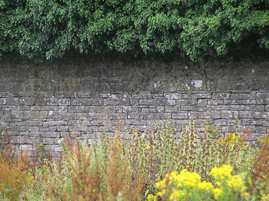
What is recorded here
Walled garden on sub-rectangular plan associated with Cartroncar House (13401503), erected c. 1832. Currently disused. Constructed of roughly squared and dressed rubble limestone with some sections having dressed stone coping over. Integral segmental-headed pedestrian entrance to the southwest having wrought-iron flat bar gate and dressed limestone voussoirs. Gateways to wall having rendered gate piers and wrought-iron gates. Square-headed window/loop hole openings to some walls having dressed limestone voussoirs. Set back from road to the northwest of Cartroncar House, and to the southwest of Granard.
This former walled garden forms part of an interesting group of structures/features associated with Cartroncar House (13401503). It survives in relatively good condition despite being out of use for a considerable period of time. Its scale provides an interesting historical insight into the extensive resources required to run and maintain a middle-sized country estate in Ireland during the mid-to-late nineteenth century, when this walled garden would have been used to supply a range of foodstuffs to service the main house. The boundary walls are well-built using good quality dressed and squared limestone masonry, which is of a higher quality than is more commonly encountered with walled gardens in Ireland. It was originally built by the Bond family (probably James Wensley Bond (1781 – 1843), the originally owner of the house, and High Sheriff of Longford in 1822) and acts as an historical reminder of this important family. The simple wrought-iron gates add further appeal to this composition, which is an integral element of the built heritage of the local area.
This does not grant access. Most recorded buildings are privately owned; view them only from public ground unless the owner allows entry.
Places near here
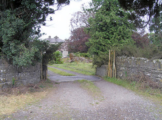 Cartroncar Housegates/railings/walls · 167 yd
 IndicatedFairy fort / earthen ringfort · 276 yd
 Enclosure in Tully (granard By.)Enclosure · 578 yd
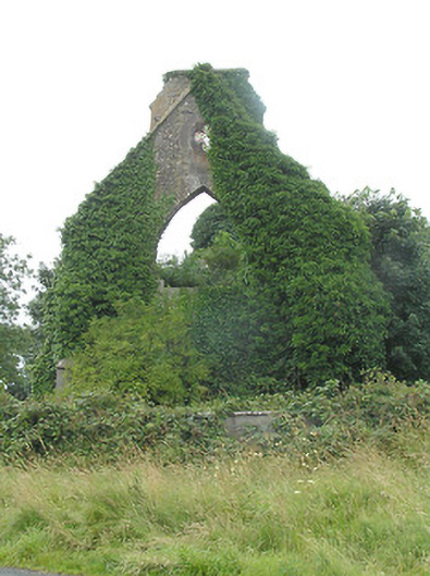 Tully Presbyterian Churchchurch/chapel · 938 yd
 CastleCastle, unclassified · 1184 yd
 Moat & FortCastle, motte and bailey · 1.2 mi
 Clonfin Ambush MemorialMemorial · 1.5 mi
 Cloonfin WoodForest · 2.8 mi
 Granard MotteMotte-and-bailey castle remains · 3.9 mi
 Ballinalee Forest WalkForest · 3.9 mi
 1798 Monumentmonument · 4.0 mi
 Bully's Acregraveyard/cemetery, unknown · 4.2 mi
Other information
Photo: National Inventory of Architectural Heritage · Website use allowed for educational or private purposes with source credit