What is recorded here
Half-buried in Cartronamarkey pasture, the fort keeps its shape against centuries of rain and hoofprints. Its inner scarps rise a metre above the grass, while outer banks fade into shallow ridges that suggest a wider circle now forgotten. The missing southeast entrance and small southwest depression hint at a lived-in center where people may have gathered, argued, or watched the slope darken at dusk.
Close to the base of a NW-facing slope in pasture. A raised subcircular area (39m E-W; 36.5m N-S) defined by a scarp (H 0.85-1.3m), with a fosse (Wth 3.8-4.5m; D 0.2-0.4m) from WSW-N-NE and from E-ESE. An outer bank (Wth 3-5m; H 0.4-0.75m) is identifiable from W-WNW, from NNW-N-NE and from E-ESE. At ENE the outline of the levelled fosse and outer bank are marked by a berm (Wth 3.5-4m). A report in 1975 (SMR file) suggested that the original entrance may have been at SE and noted a small shallow depression, of unknown significance, in the interior at SW.
Compiled by: Patrick F. O'Donovan
Date of upload: 28 November 2011
The monument record does not grant public access. Check the route and ask the landowner before entering private land.
- What survives
- Recorded monument
Places near here
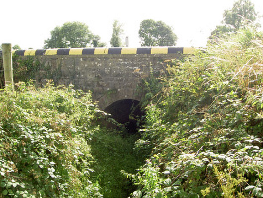 bridgebridge · 1354 yd
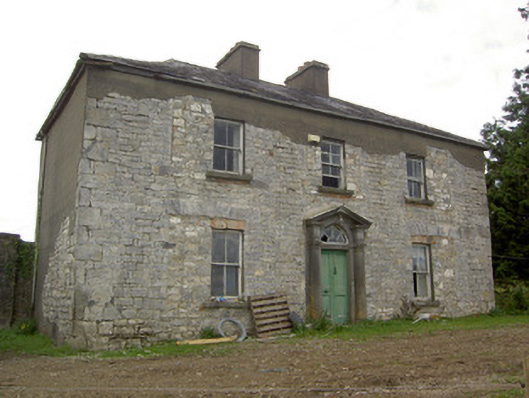 Ballinlough Househouse · 1389 yd
 BawnBawn · 1475 yd
 Enclosure in RathbrackanEnclosure · 1.4 mi
 Cloonfin WoodForest · 1.5 mi
 Lismacaffry FortFairy fort / earthen ringfort · 1.7 mi
 InchmoreIslet · 1.8 mi
 Derrycassan WoodsWood · 2.5 mi
 Clonfin Ambush MemorialMemorial · 2.5 mi
 Bully's Acregraveyard/cemetery, unknown · 3.6 mi
 Granard MotteMotte-and-bailey castle remains · 3.6 mi
 CastleCastle, unclassified · 3.6 mi