What is recorded here
Indicated is a fairy fort or earthen ringfort in Cartron More, County Roscommon, Ireland. It occupies a gentle south-west-facing slope as a circular grass-covered area measuring forty metres east-west and thirty-eight metres north-south. An earthen bank three to three and a half metres wide surrounds the centre, while an outer ditch appears along the south, west and north-east edges. A shallow scarp and hedge complete the remaining boundary, and no entrance is visible.
On a gentle SW-facing slope. Circular grass-covered but poached area (diam. 40m E-W; 38m N-S) defined by an earthen bank (Wth 3.3-3.5m; int. H 0.6-0.8m; ext. H 0.6-0.9m) and outer fosse (Wth of base 1.9m; D 0.2-0.3m) S-W-NE, and a scarp (H c. 0.4m) and hedge elsewhere. There is no visible entrance. Archaeological testing (19E0760) by T. McHugh c. 10m to the SE at the closest point produced no related material (excavations.ie 2020:10).
Compiled by: Michael Moore
Date of upload: 24 August 2010
Amended: 21 October 2021
The monument record does not grant public access. Check the route and ask the landowner before entering private land.
- What survives
- Recorded monument
Places near here
 Embanked enclosureFairy fort / earthen ringfort · 716 yd
 CaveMan-made underground passage · 1470 yd
 CastleCastle, unclassified · 1.4 mi
 Church (in Ruins)Church · 2.3 mi
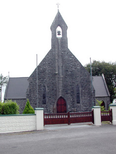 Saint Baoithín's Catholic Churchchurch/chapel · 2.3 mi
 Druminagh WoodForest · 2.5 mi
 TowerCastle, tower house · 2.6 mi
 Fairymount HillMountain / peak · 2.9 mi
 Bawn IslandIslet · 5.5 mi
 Bockagh HillMountain / peak · 5.5 mi
 Square WoodForest · 5.9 mi
 Clonalis HouseMuseum · 6.0 mi