What is recorded here
The field system in Carrowreagh (leyny By.) is in County Sligo, Ireland. It occupies the lower south slopes of the Ox Mountains and belongs to the Monalea hamlet. The fields contain lazy-bed cultivation remains, and their irregular shapes follow natural rock outcrops rather than wasting stone. The construction probably dates to after 1700 AD.
Listed in both the the SMR (1989) and RMP (1995) and classified as 'Settlement' and 'Field System' respectively . Not shown on the 1838 edition of the OS 6-inch map. On the lower S slopes of the Ox Mountains. This field system (GSIAP, G 234) relates to the hamlet of Monalea. It Any kinks and irregularities in these fields, which have remains of lazy-bed cultivation within them, is due to a desire by their builders to include natural rock outcrops in the stone walls. This is probably post-1700 AD in date.
Compiled by: Archaeological Survey Unit, UCC
Date of upload: 13 January 2012
The monument record does not grant public access. Check the route and ask the landowner before entering private land.
- What survives
- Recorded monument
Places near here
 Carrowreagh Court TombArchaeological place · 1003 yd
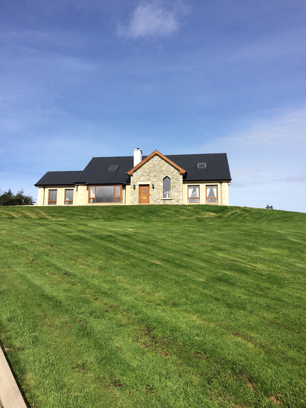 CashelmoreFairy fort / stone ringfort · 1214 yd
 Church in KilmacteigeChurch · 1.1 mi
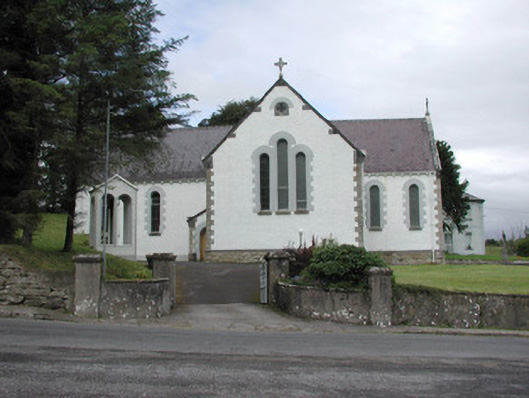 Catholic Church of Our Lady of the Rosarychurch/chapel · 1.1 mi
 Castle (in Ruins)Castle, tower house · 1.3 mi
 KnockasliggaunMountain / peak · 2.5 mi
 Lough Talt TrailVisitor information · 3.1 mi
 Castle Carragh in RuinsCastle, unclassified · 3.4 mi
 Largan HillMountain / peak · 3.7 mi
 Carrick WoodWood · 4.5 mi
 Mass RockNamed rock · 5.0 mi
 New WoodWood · 5.2 mi