
What is recorded here
Mill Fort is a worn earthen ring on a Galway rise, overlooking dark bogland and holding a local memory of a windmill beside it. The earth has smoothed much of the ditch and bank, but the subcircular shape still marks a place where people lived, worked or played before the land forgot their names. It stands among other old rings and moated ground, small enough to walk around in minutes yet large enough to keep a region's deeper time company.
On a rise in undulating grassland overlooking bogland to S. Poorly preserved subcircular rath (E-W 38m, N-S 33.8m) defined by an inner scarp, intervening fosse and outer bank. No visible surface trace of the fosse survives from E to S or from SW to W. The outer bank is visible from SW to W. Tradition of a windmill close by. A moated site (GA017-042----) lies c. 300m to W and a ringfort (GA017-061----) c. 320m to ESE. (Nearly 1914, 113, no. 118)
The above description is derived from the published 'Archaeological Inventory of County Galway Vol. II - North Galway'. Compiled by Olive Alcock, Kathy de hÓra and Paul Gosling (Dublin: Stationery Office, 1999).
Date of upload: 05 August 2010
The monument record does not grant public access. Check the route and ask the landowner before entering private land.
- What survives
- Recorded monument
Places near here
 Mill FortArchaeological place · 13 yd
 Enclosure in CarrowculleenEnclosure · 1423 yd
 Quarry in Addergoole MoreQuarry · 2.0 mi
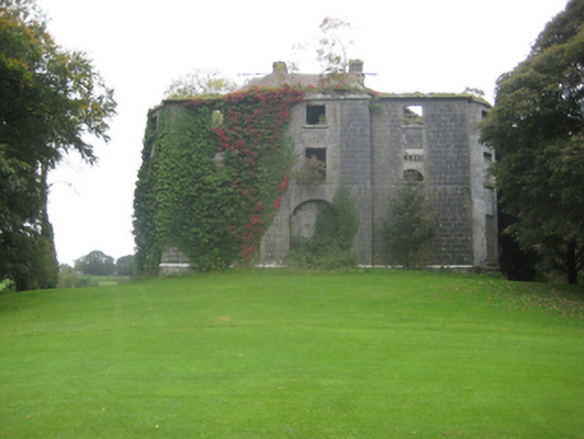 Dunmore Housecountry house · 2.0 mi
 Site of Doonbally CastleCastle, unclassified · 2.4 mi
 Dunmore CastleCastle · 2.5 mi
 European ashEuropean ash · 6.3 mi
 Mass RockNamed rock · 8.2 mi
 KnockmaaWood · 11 mi
 Enclosure in CarrowntrylaEnclosure · 1682 yd
 Enclosure in Carrowrevagh MoreEnclosure · 1.2 mi
 Enclosure in Carrowntanlis,carrowrevagh MoreEnclosure · 1.4 mi
Other information
Photo: Credit not shown in the picture search · Rights wording not checked; contact us if this picture should be removed