What is recorded here
Marked on the 1837 ed. of the OS 6-inch map, and situated on the N-facing slope of a low hill at the E foot of Rathcroghan ridge. An earthen bank (Wth 2.2m; H 0.6m) aligned NW-SE (L c. 1km) is separated by a berm (Wth 2.2m) at SW from a lower earthen bank (Wth 5m; H 0.3-0.5m) with traces of a drain (Wth 1.7m) outside it. This may have been part of the Tulsk-Bellanagare road (now N5) before the present road, looping S of the hill, was constructed before 1837 (OS 1837 ed. of the OS 6-inch map). (Waddell 1983, 41)
Compiled by: Michael Moore
Date of upload: 24 August 2010
The monument record does not grant public access. Check the route and ask the landowner before entering private land.
- What survives
- Recorded monument
Places near here
 RoadRoad, road/trackway · 838 yd
 Embanked enclosureFairy fort / ringfort · 1177 yd
 TobercroghoorHoly well · 1254 yd
 European ashEuropean ash · 1.3 mi
 ToberagullaSpring · 1.3 mi
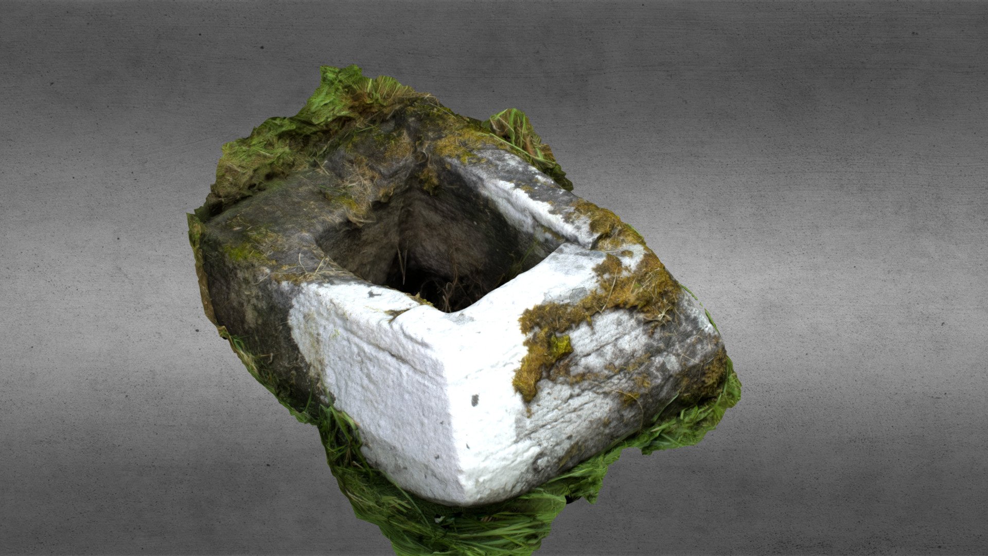 Church in OgullaChurch · 1.3 mi
 CastleCastle, unclassified · 1.7 mi
 Cruachan Aí Heritage CentreMuseum · 1.7 mi
 CastlerubyCastle, unclassified · 2.1 mi
 War of Independence Commemorative Military MemorialMemorial · 4.1 mi
 Silver IslandIslet · 7.6 mi
 Sweet ChestnutSweet Chestnut · 7.6 mi