What is recorded here
Fairy fort in Carrownphull, County Longford: a large oval rath on a west-facing pasture slope, still marked by a wide low bank of earth and stone and a shallow external ditch. Its entrance has vanished, but the shape remains clear enough to walk around and imagine. People may have lived there, cleared fields there, or simply avoided it after dark.
On a W-facing slope in pasture. A large, raised, oval-shaped area (53m ENE-WSW; 47m NNW-SSE) enclosed by a wide low bank of earth and stone (Wth 3.7-5.1m; H 0.1-0.6m) with a round-bottomed external fosse (Wth c. 3m) from WNW-NW. Elsewhere the latter is evident as a poorly defined depression. The original entrance is not recognisable. The interior contains large quantities of stone, most likely field-clearance material.
Compiled by: Patrick F. O'Donovan
Date of upload: 26 November 2011
The monument record does not grant public access. Check the route and ask the landowner before entering private land.
- What survives
- Recorded monument
Places near here
 IndicatedEnclosure · 593 yd
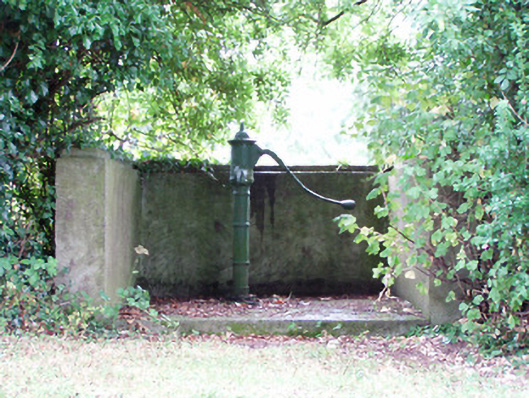 water pumpwater pump · 637 yd
 Platform in Commons SouthPlatform · 876 yd
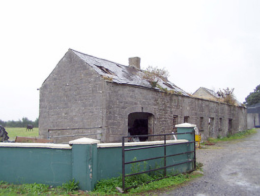 Cordara Houseoutbuilding · 1320 yd
 Caltragh CastleCastle, unclassified · 2.0 mi
 Rathcline CastleBawn · 2.3 mi
 Priest's IslandIslet · 2.4 mi
 Goat's IslandIslet · 2.4 mi
 White Sand WoodWood · 2.5 mi
 Wild birdsVisitor information · 3.1 mi
 Elfeet BayBay · 3.3 mi
 Culnagore WoodForest · 3.3 mi