What is recorded here
Embanked enclosure is a fairy fort or earthen ringfort in Carrowngarry,scor More, County Roscommon, Ireland. It occupies the bottom of a south-facing slope on an east-west spur, with a stream marking the boundary to Scor More immediately south. A grass-covered circular area measures roughly twenty-four metres east-west and twenty-two metres north-south, defined by a scarp rising from seventy centimetres at the south to one metre five centimetres at the east. No visible fosse or entrance breaks the rim, while Rath lies about ninety metres to the south.
At the bottom of the S-facing slope of an E-W spur with a stream forming the townland boundary with Scor More immediately to the S. Circular grass-covered area (diam. 24m E-W; 22m N-S) defined by a scarp (H 0.7m at S to 1.05m at E). There is no visible fosse or entrance. Rath (RO016-049----) is c. 90m to the S.
Compiled by: Michael Moore
Date of upload: 24 August 2010
The monument record does not grant public access. Check the route and ask the landowner before entering private land.
- What survives
- Recorded monument
Places near here
 Embanked enclosureFairy fort / earthen ringfort · 550 yd
 Mound of StonesPenitential station · 577 yd
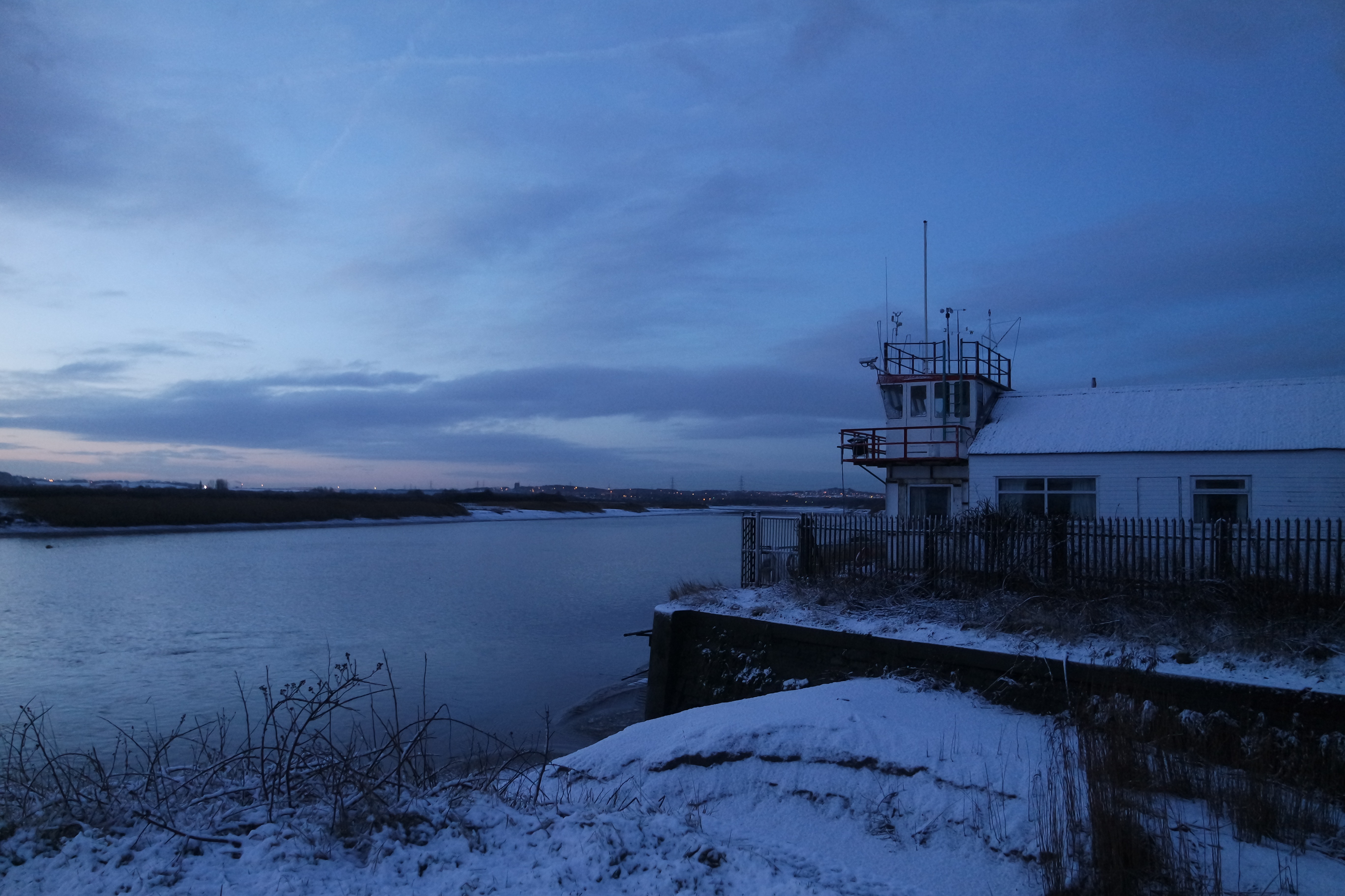 Fiddlers' FortRuins · 1523 yd
 NunneryReligious house, Franciscan Third Order Regular · 1687 yd
 War of Independence Commemorative Military MemorialMemorial · 2.7 mi
 Castle (Site of)Castle, unclassified · 3.7 mi
 Moylung Castle (in ruins)Castle, unclassified · 4.8 mi
 Gray's WoodForest · 5.9 mi
 Square WoodForest · 6.1 mi
 Bawn IslandIslet · 7.9 mi
 Rose PointHeadland · 8.5 mi
 Inch IslandIslet · 9.0 mi