What is recorded here
In rough, scrubby woodland, adjacent to a spring in a natural basin of wet ground at the base of a steep NNW-facing ridge slope. The area is marked ‘Carrowdangan Wood’ on the 1919 OS 6-inch map.
A roughly oval mound (c. 6m NW–SE; c. 4-5m NE–SW; H 0.3m) of firm dry ground amidst an expanse of soft, wet terrain. It is composed of heat-shattered stones and occasional charcoal fragments in dark soil.
The exact limits of the mound are obscured by a large willow tree, whose roots have spread over the mound. A spring/drain lies immediately to E, and flows to NNE flanked on the E side by a field fence.
A rath (MA080-046001-) crowns the ridge is c. 150m to S.
Compiled by: Jane O’Shaughnessy
Date of upload: 6 December 2021
Burnt mound in Carrowndangan is a Neolithic ritual or industrial site, dating to the third millennium BCE. Its location near a spring suggests it may have been used for ceremonial heating or water-related activities, typical of such sites in the Irish landscape.
The monument record does not grant public access. Check the route and ask the landowner before entering private land.
- What survives
- Recorded monument
Places near here
 Enclosure in Largan (gallen By.)Enclosure · 547 yd
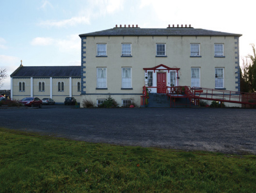 Ballinamore Housecountry house · 1421 yd
 CashlankeeghCastle, unclassified · 1584 yd
 Carrowbeg WoodWood · 1742 yd
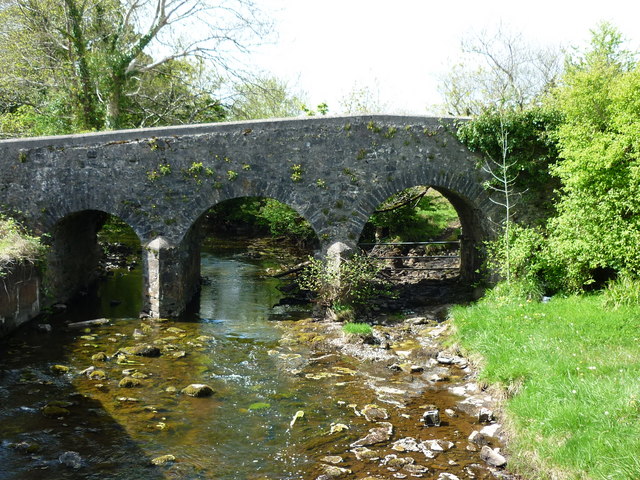
 Ballinamore Bridgebridge · 1743 yd
 I'll Send You The FareMemorial · 3.1 mi
 Kiltimagh MuseumMuseum · 3.2 mi
 CastleCastle, ringwork · 3.2 mi
 Thorn CaveCave · 6.0 mi
 Knock ShrineHeritage attraction · 6.2 mi
 East Mayo Brigade MonumentMemorial · 8.7 mi