What is recorded here
Indicated is a preserved fairy fort in County Mayo, Ireland, occupying a ridge above a steep valley with Croagh Patrick visible to the west. Its earthen bank encloses a shallow, saucer-shaped interior now marked by gorse, old cultivation ridges and a property fence. Tradition holds that people walked from St. Patrick’s Well, past temporary wooden crosses, round the rath and back again, turning an ordinary pasture into a place of repeated ceremony.
In pasture, on top of a NE−SW ridge, close to the break of slope on the NW side where the ground falls steeply into a valley bordered on the opposite side by a high ridge. There are clear views of Croagh Patrick to W. To SE ground falls away more gradually, with extensive views over undulating pastureland.
This well preserved rath consists of a circular raised area (47.3m NNW−SSE; 50.2m ENE−WSW) defined by a substantial earthen bank (Wth c. 5m; int. H 0.4m; ext. H 2.5m at NW, 1.45m at SE) with an external fosse (Wth 3-4m, base c. 2m, at NW).
The inner face of the bank is quite well defined and incorporates stones at NW but is levelled to a broad low lip elsewhere around the circuit, giving the rath interior a slightly dished or saucer shaped profile. The external slope of the bank is high and pronounced, especially so on the NW arc. The fosse is evident as a broad but very shallow silted-up depression.
The interior dips down slightly from centre to NE−E. It is crossed slightly N of centre by a NW−SE property fence, thickly covered in gorse. Remnants of cultivations ridges traverse the interior on a roughly E−W axis. The entrance may have been at E−ESE where the bank appears lower and there is a hint of a break in the fosse.
A holy well named St. Patrick’s Well (MA080-046002-) is a 40m meters to SE. According to tradition, this rath was ‘called Lisnacrus, or the fort of the Cross’ because of its association with the holy well: ‘The country people say that stations used to be held, marked by wooden crosses, starting from the well and round the rath back to the well.’ (Knox 1902, 188-9).
Compiled by: Jane O’Shaughnessy
Date of upload: 3 December 2021
The monument record does not grant public access. Check the route and ask the landowner before entering private land.
- What survives
- Recorded monument
Places near here
 Enclosure in Largan (gallen By.)Enclosure · 628 yd
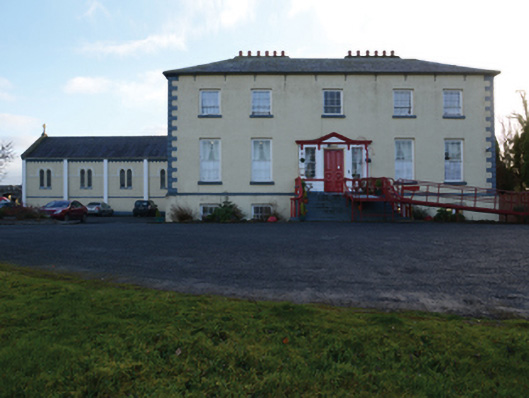 Ballinamore Housecountry house · 1558 yd
 CashlankeeghCastle, unclassified · 1728 yd
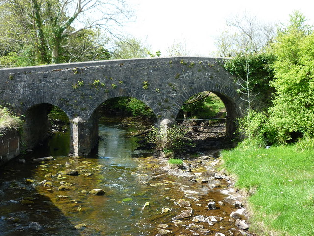
 Ballinamore Bridgebridge · 1.1 mi
 Carrowbeg WoodWood · 1.1 mi
 CastleCastle, ringwork · 3.1 mi
 I'll Send You The FareMemorial · 3.2 mi
 Kiltimagh MuseumMuseum · 3.2 mi
 Thorn CaveCave · 6.1 mi
 Knock ShrineHeritage attraction · 6.2 mi
 East Mayo Brigade MonumentMemorial · 8.8 mi