What is recorded here
Cloghmurthail is a megalithic tomb in Carrownaleck, County Sligo, Ireland. Three orthostats stand on an oval stony mound in rolling pasture within 100m of the River Moy. Two low stones face each other near the middle to form an east-west gallery, while a taller stone stands transversely 2.5m to the west as a possible backstone.
In rolling pasture within 100m of the River Moy. Three orthostats stand on an oval stony mound (11.7m E-W; 7.7m N-S; H 0.6m). Two of the orthostats, both low stones, are opposite each other close to the middle of the mound and seem to represent a gallery aligned approximately E-W. Immediately E of these the tops of some small stones are exposed at the surface but their status is unclear. Some 2.5m to the W of the opposed orthostats there is a tall example set transversely to the line of the presumed gallery, possibly a backstone. There are a number of displaced stones on the mound. (Ó Nualláin 1989, 61, no. 98)
The above description is derived from the published 'Archaeological Inventory of County Sligo' compiled by Ursula Egan, Elizabeth Byrne, Mary Sleeman with Sheila Ronan and Connie Murphy (Dublin Stationery Office, 2005).
Date of upload: 18 January 2008
See linked document with details from Seán Ó Nualláin, Survey of the Megalithic Tombs of Ireland. Volume V. County Sligo. (Dublin: Stationery Office, 1989)
Portal dolmen; likely dates to the Neolithic or early Bronze Age. Its alignment and positioning near the River Moy suggest possible ritual or funerary significance in a prehistoric landscape.
The monument record does not grant public access. Check the route and ask the landowner before entering private land.
- What survives
- Recorded monument
Places near here
 IndicatedFairy fort / stone ringfort · 417 yd
 FriaryReligious house, Franciscan Third Order Regular · 740 yd
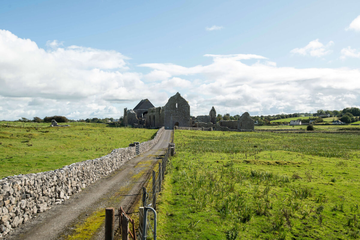 Abbey (Site of)Church · 814 yd
 Carrowmore National Schoolschool · 1.9 mi
 KnocknasheeMountain / peak · 2.5 mi
 The Turf Stack RockNamed rock · 3.0 mi
 Muckelty HillMountain / peak · 3.1 mi
 CastleCastle, unclassified · 3.8 mi
 Tawnyart WoodWood · 3.9 mi
 New WoodWood · 4.2 mi
 Ballyara Castle (in Ruins)Castle, unclassified · 4.5 mi
 Mass RockNamed rock · 4.9 mi