What is recorded here
On a hummock in a low-lying wet boggy area, just S of a stream marking the td. boundary. Circular earthen grassed-over round-topped mound (D 19m, H 1.5m), the W section of which is cut by a drain. Two similar earthworks (GA017-040----, GA017-041----) lie to SE; possibly a group of boundary mounds, tumuli or large fulachta fiadh.
The above description is derived from the published 'Archaeological Inventory of County Galway Vol. II - North Galway'. Compiled by Olive Alcock, Kathy de hÓra and Paul Gosling (Dublin: Stationery Office, 1999).
Date of upload: 05 August 2010
The monument record does not grant public access. Check the route and ask the landowner before entering private land.
- What survives
- Recorded monument
Places near here
 Enclosure in CarrowculleenEnclosure · 632 yd
 Mill FortArchaeological place · 928 yd
 Site of Doonbally CastleCastle, unclassified · 2.0 mi
 Brownnsgrove Housedemesne walls/gates/railings · 2.1 mi
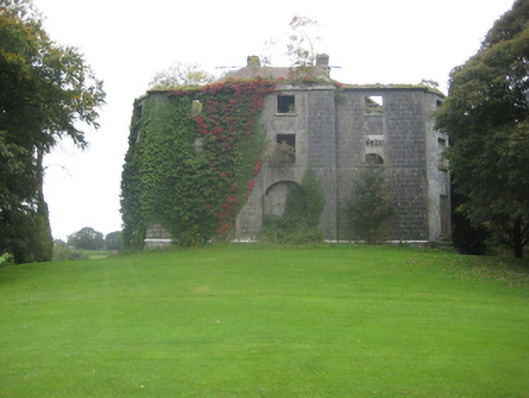 Dunmore Housecountry house · 2.1 mi
 Dunmore CastleCastle · 2.4 mi
 European ashEuropean ash · 6.1 mi
 Mass RockNamed rock · 8.0 mi
 KnockmaaWood · 11 mi
 Enclosure in Carrowrevagh MoreEnclosure · 1.2 mi
 Enclosure in CarrowntrylaEnclosure · 1.4 mi
 Enclosure in Carrowntanlis,carrowrevagh MoreEnclosure · 1.6 mi