What is recorded here
A house is shown in the S half of Carrowmore townland on the 1656-8 Down Survey Barony map. Its precise location has not been identified.
Compiled by: Jane O’Shaughnessy
Date of upload: 8 April 2020
The monument record does not grant public access. Check the route and ask the landowner before entering private land.
- What survives
- Recorded monument
Places near here
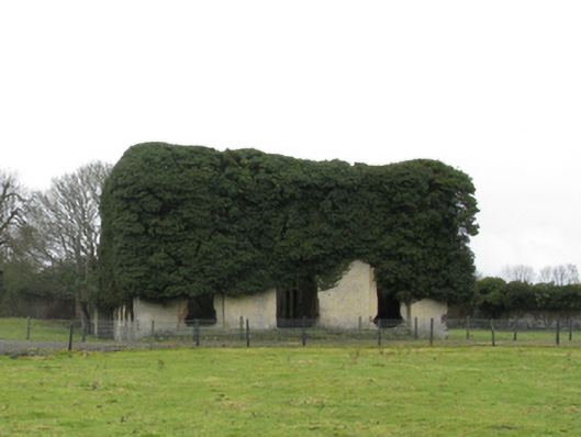 Carrowmore Housecountry house · 379 yd
 Enclosure in Rathbaun (tirawley By., Kilbelfad Par.)Enclosure · 1061 yd
 Saint Teresa's Catholic Churchchurch/chapel · 1621 yd
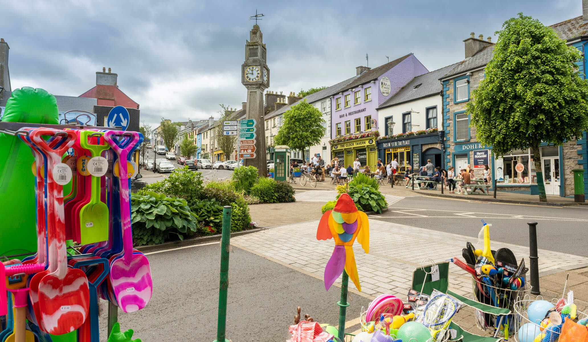 RathmweelFairy fort / earthen ringfort · 1.4 mi
 Gull IslandIslet · 1.5 mi
 Cloghans CastleCastle, tower house · 2.2 mi
 Castle Kelly (in Ruins)Castle, motte · 2.3 mi
 Battle of Ballinabattle · 2.4 miHumbert MonumentMemorial · 2.8 mi
 Roe IslandIslet · 3.6 mi
 The Marshall Doran CollectionGallery · 3.9 mi
 Belleek WoodsWood · 4.0 mi