What is recorded here
Indicated as a circular enclosure filled with trees on the OS 1at ed. 6-inch map (surveyed 1838) and within the demesnse of Fairfield House in a field named 'Ring Park' on the map. The feature is indicated on the latest edition of the OS 6-inch map and an inspection in 1985 recorded that it had then been recently cleared (SMR field). It is not visible at ground level.
Compiled: Paul Walsh
Date of upload: 18 July 2013
The monument record does not grant public access. Check the route and ask the landowner before entering private land.
- What survives
- Recorded monument
Places near here
 Oak WoodWood · 278 yd
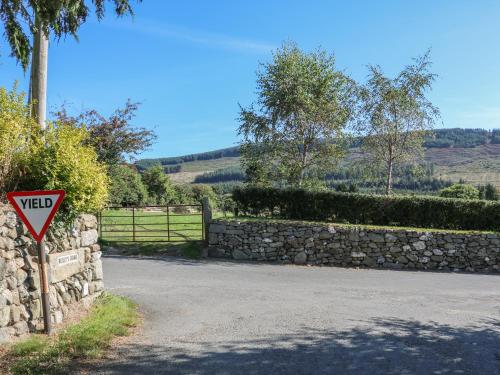 Fairfield Ho.House, 18th/19th century · 578 yd
 Castle (Site of)Castle, Anglo-Norman masonry castle · 1450 yd
 R.C. ChapelChurch · 1468 yd
 St. Catherines WellHoly well · 1543 yd
 Battle of Aughrim Interpretative CentreMuseum · 1638 yd
 Site of AbbeyReligious house, Augustinian canons · 1664 yd
 Battle of AughrimMajor battlefield · 1.5 mi
 The bloody HollowHeritage attraction · 1.8 mi
 Urraghry HillMountain / peak · 2.2 mi
 West WoodWood · 2.6 mi
 Site of Cloonigny CastleCastle, unclassified · 3.0 mi