What is recorded here
Shown as a circular antiquity of ringfort size on the 1st edition OS 6-inch map. Located on an E facing slope in improved pasture. The field has been improved. There are no visible surface traces.
Compiled by: Geraldine Stout
Date of upolad: 26 August 2013
The monument record does not grant public access. Check the route and ask the landowner before entering private land.
- What survives
- Recorded monument
Places near here
 Enclosure in CarrickhenryEnclosure · 308 yd
 IndicatedEnclosure · 347 yd
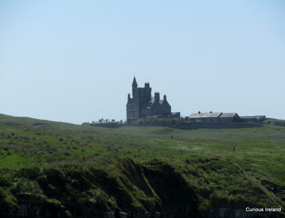 CastleCastle, unclassified · 1753 yd
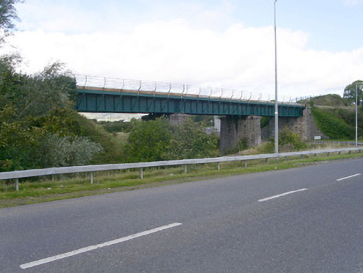 bridgebridge · 1.1 mi
 Ballydrehid Br.Bridge · 1.1 mi
 Tobernalt Holy WellSpring · 1.7 mi
 Carrowmore Megalithic CemeteryHeritage attraction · 1.8 mi
 Carrowmore Visitors CentreVisitor information · 1.8 mi
 Aghamore BayBay · 1.9 mi
 Union RockMountain / peak · 1.9 mi
 Green IslandIslet · 1.9 mi
 Bernard's IslandIslet · 2.2 mi