What is recorded here
Fairy fort / earthen ringfort in Carrowclare is a fairy fort or earthen ringfort in Carrowclare, County Sligo, Ireland. It occupies a circular area about twenty-three metres across on the southwest-facing slope of a ridge. The eastern edge sits up to one metre and twenty-five centimetres below the surrounding ground while the western edge rises up to fifty centimetres above it. Drystone wall foundations extend ten metres along the southern arc, though vegetation now covers most of the structure.
In pasture, on the SW-facing slope of a ridge. A circular area (diam. c. 23m) terraced into the hillslope with the E side up to 1.25m below and W side up to 0.5m above the external ground level. The foundations of a drystone wall extends E-W for c. 10m along the S arc. The rath is heavily overgrown. It was described during a previous inspection in 1977 (SMR (1989) file) as having a low earth and stone bank (Wth c. 3m; H c. 0.3m) along the N and S arcs, a scarp (H c. 1.25m) along the W arc, with the E side cut into the hillside. Stone facing was noted on the inner edge of the bank at S.
The above description is derived from the published 'Archaeological Inventory of County Sligo' compiled by Ursula Egan, Elizabeth Byrne, Mary Sleeman with Sheila Ronan and Connie Murphy (Dublin Stationery Office, 2005).
Date of upload: 18 January 2008
The monument record does not grant public access. Check the route and ask the landowner before entering private land.
- What survives
- Recorded monument
Places near here
 iNDICATEDFairy fort / earthen ringfort · 814 yd
 CastleCastle, unclassified · 908 yd
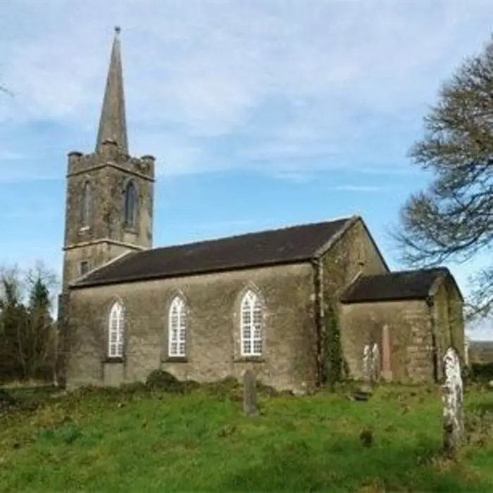 Enclosure in AchonryEnclosure · 1176 yd
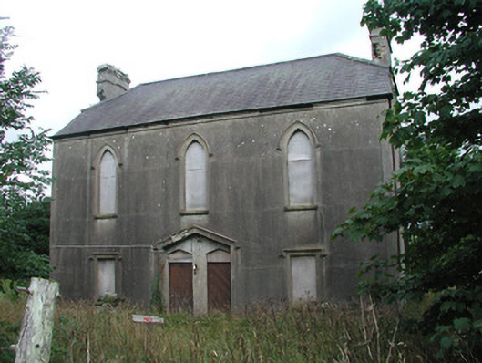 Achonry Parochial Hallchurch hall/parish hall · 1227 yd
 Abbey CourtReligious house, Franciscan friars · 1.1 mi
 Muckelty HillMountain / peak · 1.7 mi
 KnocknasheeMountain / peak · 1.7 mi
 European ashEuropean ash · 3.2 mi
 ElderElder · 3.3 mi
 Castle (in Ruins)Castle, tower house · 3.6 mi
 The Turf Stack RockNamed rock · 6.2 mi
 Old Cave Burial GroundArchaeological place · 7.5 mi