What is recorded here
Situated on a slight rise in gently undulating pasture. Raised circular area (diam. 19m) enclosed by an earthen scarp (ext. H 1.6m). There is no fosse visible at ground level. From E-SE the scarped has been partially eroded out by livestock. A modern WNW-ESE orientated wire fence lies along the top of the scarp SSE-SW. The original entrance is not recognisable.
Compiled by: Mark Keegan
Date of upload: 19 January 2011
The monument record does not grant public access. Check the route and ask the landowner before entering private land.
- What survives
- Recorded monument
Places near here
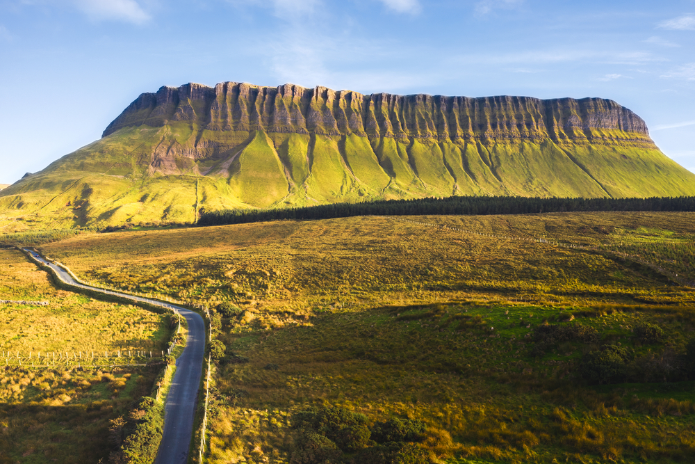 SuperHeritage attraction · 357 yd
 CannonMonument · 612 yd
 Strandhill BeachBeach / strand · 643 yd
 Habitation site in CarrowdoughHabitation site · 848 yd
 Dolly's Cottagehouse · 1303 yd
 Herdsman’s HutRuins · 1381 yd
 CulleenamoreBeach / strand · 1398 yd
 Killaspugbrone GraveyardRuins · 1.0 mi
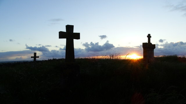 Graveyard in KillaspugbroneGraveyard · 1.0 mi
 Maguins IslandIslet · 1.3 mi
 Doonanpatrick IslandIslet · 1.6 mi
 Knocknarea trailWalking route · 1.6 mi