What is recorded here
Indicated is a fairy fort or earthen ringfort in Carroward (roscommon By.),cloonycarran More, County Roscommon, Ireland. The circular grass-covered area sits towards the bottom of the W-facing slope of Slieve Bawn. An overgrown earthen bank and shallow fosse surround the space, while two other raths stand within two hundred metres to the north and south.
Towards the bottom of the W-facing slope of Slieve Bawn. Circular rush and grass-covered area (diam. 38m N-S; 36m E-W) defined by an overgrown, round-topped earthen bank (Wth 3.4-4.5m; int. H 0.4m at N to 1.6m at W; ext. H 0.9-1.1m), which is incorporated into a field bank SE-SW and almost reduced to a scarp at NW and NE, and a fosse (Wth of top 3.8-6.7m; Wth of base 2.3-2.8m; D 0.5-0.9m). There is no identifiable entrance. Rath (RO029-108----) is c. 100m to the N, and rath (RO029-110----) is c. 180m to the S.
Compiled by: Michael Moore
Date of upload: 24 August 2010
The monument record does not grant public access. Check the route and ask the landowner before entering private land.
- What survives
- Recorded monument
Places near here
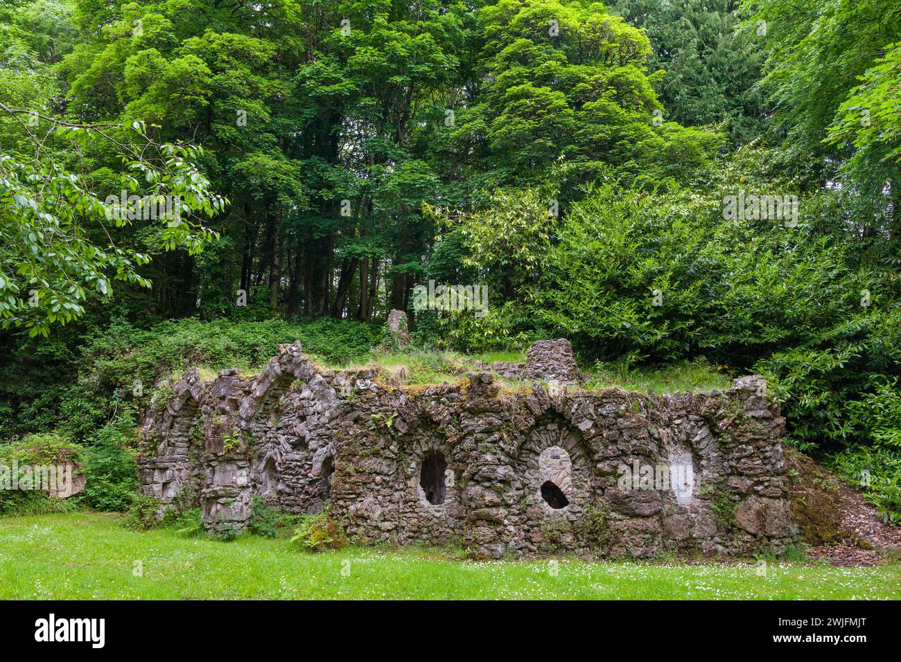 Embanked enclosureFairy fort / earthen ringfort · 795 yd
 IndicatedPromontory fort, inland · 905 yd
 R. C. ChapelChurch · 1225 yd
 CastleCastle, unclassified · 1352 yd
 Doughill ForestForest · 1728 yd
 Church in BallinafadChurch · 1.1 mi
 Slieve BawnMountain / peak · 1.5 mi
 Strokestown House GardensHeritage attraction · 2.5 mi
 Strokestown ParkHeritage attraction · 2.5 mi
 Common LimeCommon Lime · 2.5 mi
 Leitrim CastleCastle, unclassified · 3.9 mi
 Commons North WalkVisitor information · 6.1 mi