What is recorded here
Fairy fort / stone ringfort in Carrigeenblike is a fairy fort or stone ringfort in Carrigeenblike, County Sligo, Ireland. It occupies rocky undulating pasture on a gentle slope with excellent views in all directions. A large oval area measures 38 metres north-south and 44 metres east-west, defined by a rubble limestone wall standing 0.3 metres high internally and 1.2 metres high externally. An internal division in the northeast quadrant forms a smaller oval enclosure measuring 30 metres northwest-southeast and 14 metres northeast-southwest, bounded by a curving rubble stone bank 0.5 metres high.
In rocky undulating pasture, partially straddling a gentle slope with excellent views in all directions. A large oval area (38m N-S; 44m E-W) defined by a rubble limestone wall (int. H 0.3m; ext. H 1.2m). A drystone field boundary wall lies on top of the cashel wall W-ENE. The interior is undulating and uneven with many limestone outcrops and grass-covered stones; the SW end slopes gently down to SW. An internal division of the NE quadrant forms a smaller oval enclosure (30m NW-SE; 14m NE-SW) defined by a curving rubble stone bank (H 0.5m) linked to the cashel wall at N and E. The interior of this area is undulating and uneven with rock outcrops and grass-covered stones.
The above description is derived from the published 'Archaeological Inventory of County Sligo' compiled by Ursula Egan, Elizabeth Byrne, Mary Sleeman with Sheila Ronan and Connie Murphy (Dublin Stationery Office, 2005).
Date of upload: 18 January 2008
The monument record does not grant public access. Check the route and ask the landowner before entering private land.
- What survives
- Recorded monument
Places near here
 Field system in CarrigeenblikeField system · 592 yd
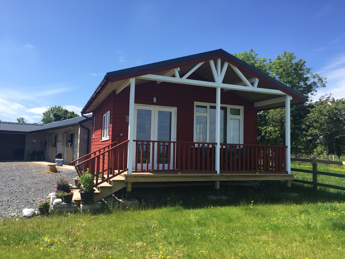 Hut site in CarrigeenblikeHut site · 596 yd
 Quarry in BallynaryQuarry · 672 yd
 Ballindoon Castle (in Ruins)Castle, unclassified · 1255 yd
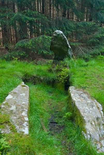 Giants GraveHouse, 18th/19th century · 1299 yd
 Loughbrick BayBay · 1479 yd
 InishmoreIslet · 1727 yd
 TumulusCastle, motte · 1.0 mi
 Barroe NorthMountain / peak · 1.1 mi
 Annaghgowla IslandIslet · 1.5 mi
 Geevagh Prisoners 1908 MemorialMemorial · 2.9 mi
 Bricklieve MountainsMountain / peak · 3.2 mi