What is recorded here
Indicated is a circular stone fort on a steep slope in County Limerick, with three long radial walls stretching east, south and west from its ring. The main wall still stands near full height, though part has collapsed near the entrance. People may have built it as a farmstead, a boundary marker or a place for ceremony, but the stones give no final answer.
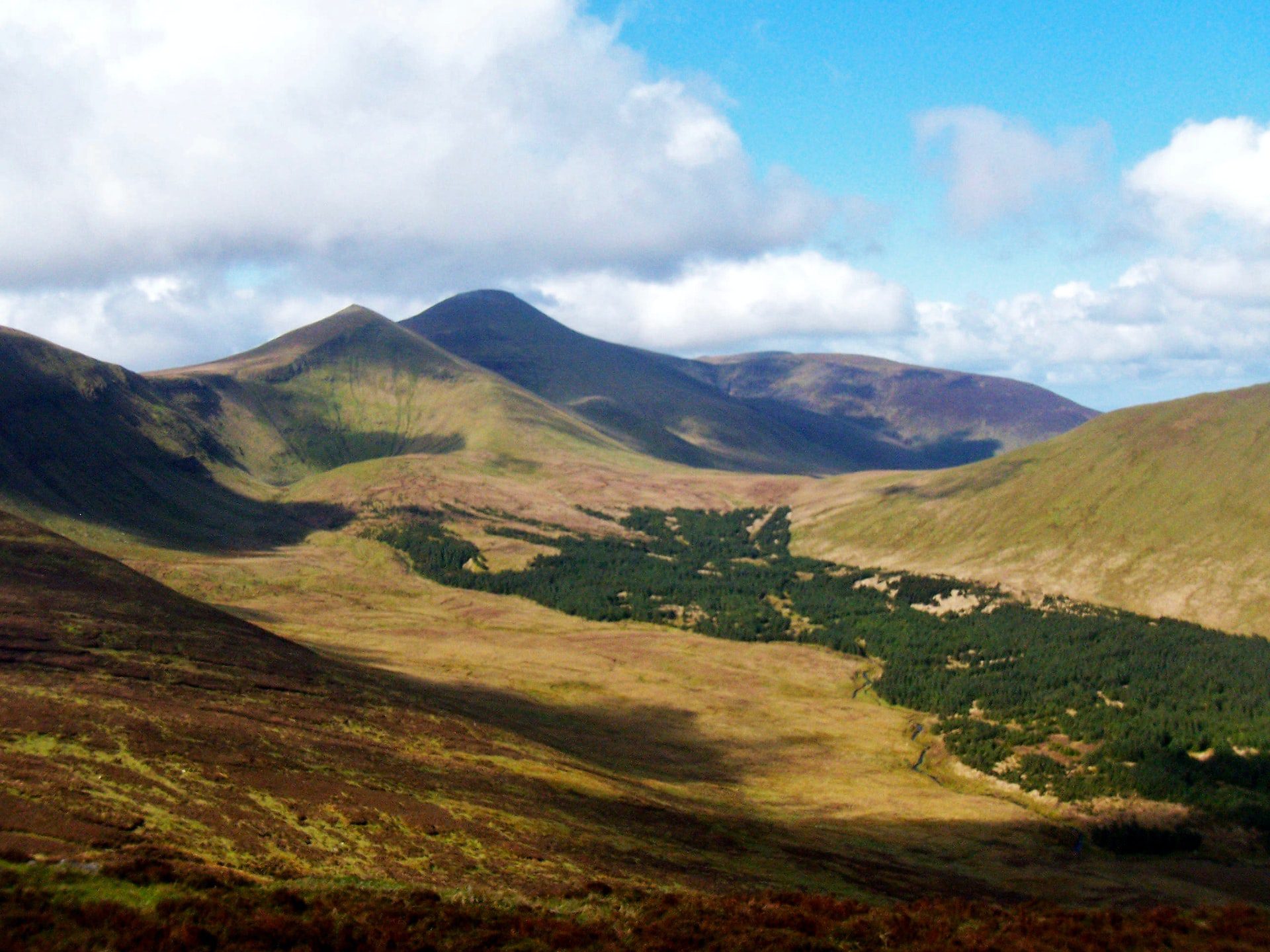
In rough upland pasture, on steep W facing slope of Knocknascrow with good views to N. Circular-shaped area (diam. 18m) enclosed by well-preserved dry-stone wall (base Wth 0.9-1.1m; top Wth 0.35-0.45m; H 1.5-1.7m) with entrance gap (Wth 1.2m) at S. Enclosing wall stands to full height except at SSW where there is some collapse. Radial walls (L c. 11m; H 1.5m) extend outwards from E, S and W. These radial walls are not bonded to the cashel wall. Not depicted as an antiquity on Cassini ed. OSi 6-inch map where it is outlined as a circular-shaped feature. OSi designation may suggest a post-1700 date for the construction of this enclosure.
See attached sketch plan of cashel.
Compiled by: Caimin O’Brien
Date of upload: 20 October 2021
The monument record does not grant public access. Check the route and ask the landowner before entering private land.
- What survives
- Recorded monument
Places near here
 Hut site in KnocknascrowHut site · 493 yd
 Hut site in Carrigeen MountainHut site · 941 yd
 OutlinedKiln, lime · 1006 yd
 Eagles StepCliff · 1192 yd
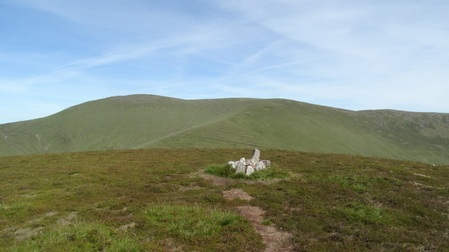 MonabrackMountain / peak · 1369 yd
 Coopers WoodWood · 1.3 mi
 Temple HillMountain / peak · 1.7 mi
 Assaroula WaterfallWaterfall · 2.0 mi
 Combaun WoodsViewpoint · 2.2 mi
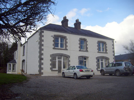 Loughananna Househouse, gate lodge · 2.2 mi
 Aircraft Memorial 1976Memorial · 2.4 mi
 Kilbeheny Castle (in ruins)Castle, tower house · 2.6 mi
Other information
Photo: Credit not shown in the picture search · Rights wording not checked; contact us if this picture should be removed