What is recorded here
Carrickmacantire is a place of edge, where a narrow stony bank circles a shallow hollow and a broad western gap opens toward the unknown. The flat ridge above holds another enclosure, now levelled, while this smaller ring remains visible only through grass, slope and the faint scarp curving from gap to bank. Whatever it enclosed has stopped announcing itself, leaving behind a shape just large enough for a person, a beast or a forgotten ritual.
In pasture, located on a gently slope at the SW edge of a broad, flat-topped ridge on which an enclosure (MA103-025----), now levelled, is sited.
Not indicated on any edition of the OS 6-inch maps. Poorly preserved outline of a subcircular area (8m N-S; 8.8m E-W) defined by a narrow, sod-covered stony bank (Wth 0.7m; H 0.2m, 0.45m on downslope S side). There is a broad gap (Wth 4.8m) in the bank at W. The interior is not noticeably raised. A slight scarp curving from the gap at W to the bank at S marks a shallow sunken area (3-4m across; D 0.15-0.2m) in the SW quadrant.
The nature and date of this enclosure is uncertain. A rath (MA103-024----) is located 260m to SSW.
Compiled by: Jane O’Shaughnessy
Date of upload: 4 November 2022
The monument record does not grant public access. Check the route and ask the landowner before entering private land.
- What survives
- Recorded monument
Places near here
 IndicatedFairy fort / earthen ringfort · 305 yd
 LisgortnalassFairy fort / earthen ringfort · 396 yd
 Saint Mary's Catholic Churchchurch/chapel · 1456 yd
 CastleCastle, unclassified · 1.4 mi
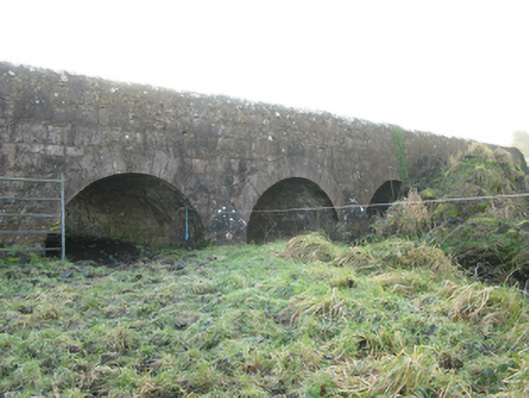 Agloragh Bridgebridge · 1.6 mi
 Slieve DartMountain / peak · 5.2 mi
 Dunmore CastleCastle · 6.8 mi
 Knock MuseumMuseum · 6.8 mi
 Oak WoodForest · 7.3 mi
 Land of the GiantsHeritage attraction · 8.1 mi
 Geoffrey's WoodForest · 8.2 mi
 Mass RockNamed rock · 14 mi