What is recorded here
Fairy fort in Carrickleitrim, County Leitrim: a circular stone ring, about twenty-one metres across, with a narrow southwest entrance, set among rock outcrops in the Bonet river valley. People may have lived there, marked territory there, or simply avoided it after dark. The stones still stand, but time has pulled grass and shadow through them, making the fort both ordinary and uncertain.
In an undulating landscape with rock outcrop on the floor of the Bonet river valley. Overgrown circular area (int. diam. c. 21m) defined by a stone spread (Wth 4-5m; H 0.25-0.4m) with facing-stones intermittently visible. The entrance (Wth 1.1m) is at SW.
The above description is derived from 'The Archaeological Inventory of County Leitrim' compiled by Michael J. Moore (Dublin: Stationery Office, 2003). In certain instances the entries have been revised and updated in the light of recent research.
Date of upload: 23 September 2008
The monument record does not grant public access. Check the route and ask the landowner before entering private land.
- What survives
- Recorded monument
Places near here
 Giants RockNamed rock · 372 yd
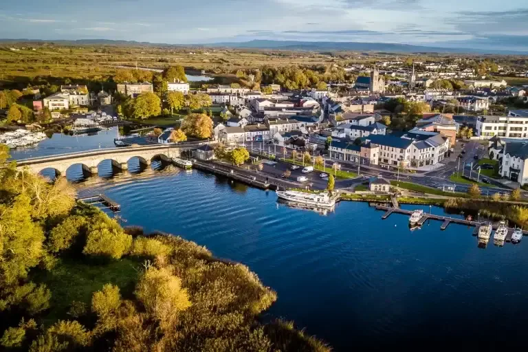 IndicatedFairy fort / ringfort · 377 yd
 Ecclesiastical enclosure in CloonclareEcclesiastical enclosure · 1387 yd
 Cloonclare Church (in Ruins)Church · 1392 yd
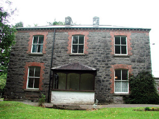 The Rectoryrectory/glebe/vicarage/curate's house · 1.2 mi
 BenboMountain / peak · 1.5 mi
 The Giants GraveArchaeological place · 1.5 mi
 Ashisland WoodForest · 3.0 mi
 Castle CarCastle · 3.0 mi
 Longhill WoodForest · 3.1 mi
 Kilroosk RockNamed rock · 3.4 mi
 Green IslandIslet · 4.0 mi