
What is recorded here
Tobermaclaney was a holy well beside Carrick martello tower in County Dublin, mapping in 1837 and flowing into two small pools before reaching the sea. The pier built for the tower disturbed its water, and the well disappeared beneath the beach road-siding. It may have given clean drinking water, marked a boundary or fed a local ritual, but the stones and men who changed the coast took that meaning with them.
Annotated 'Tobermaclaney' on the 1837 ed. OSi 6-inch map where it is shown standing within a small square-shaped field 12m SW of Carrick martello tower (DU012-040----). No surface remains visible, now underneath road-siding along the beach (Ó Danachair 1958, 79). Building of a pier associated with the martello tower disturbed the well. An 1830 Ordnance recorded the water of the well ran down the hill to form two small pools beside the tower and then ran into the sea beside the curved stone pier (Bolton et al. 2012, 157).
See attached photos (01/02) taken by Caoimhín Ó Danachair, courtesy of and © National Folklore Collection, UCD. The Photographic Collection, F024.06.00378 accessible online at https://www.duchas.ie/en/cbeg/46726; F024.06.00379 accessible online at https://www.duchas.ie/en/cbeg/46727
Compiled by: Geraldine Stout
Updated by: Christine Baker
Revised by: Caimin O'Brien
Date of revised upload: 13 April 2023
Linked to St. Laney, Tobermaclaney well was traditionally associated with cures for skin ailments and was visited for ritual washing. The site's name and location suggest it was once a significant pilgrimage site, though its exact history and surviving traditions are now obscure.
The monument record does not grant public access. Check the route and ask the landowner before entering private land.
- What survives
- Recorded monument
Places near here
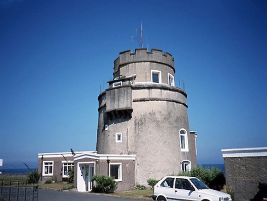 Carrickhill Martello Towermartello tower · 38 yd
 The Southern Cross MonumentMonument · 458 yd
 ChurchRuins · 675 yd
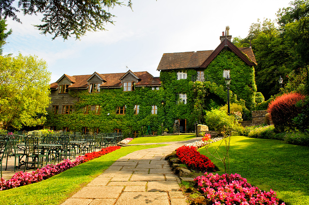 High RockViewpoint · 692 yd
 Prehistoric sitePrehistoric site, lithic scatter · 709 yd
 Black WoodWood · 1417 yd
 MoatCastle, motte and bailey · 1699 yd
 Malahide BeachBeach / strand · 1.1 mi
 Portmarnock BeachBeach / strand · 1.4 mi
 Strand Mill RuinsRuins · 1.4 mi
 Malahide DemesneVisitor information · 1.6 mi
 Casino Model Railway MuseumMuseum · 1.8 mi
Other information
Photo: Credit not shown in the picture search · Rights wording not checked; contact us if this picture should be removed