What is recorded here
Situated on an undulating landscape. It is not recorded on any map although it is depicted as an area of scrub on the 1907 edition of the OS 6-inch map. It is known locally as a burial ground, although it has not entered the folk record (IFC). This is a small, slightly raised overgrown area (dims 23m WNW-ESE; 13m NNE-SSW) with numerous stones, probably field stones in the main.
The above description is derived from the published 'Archaeological Inventory of County Monaghan' (Dublin: Stationery Office, 1986). In certain instances the entries have been revised and updated in the light of recent research.
Compiled by: Michael Moore
Date of revision: 26 February 2018
The monument record does not grant public access. Check the route and ask the landowner before entering private land.
- What survives
- Recorded monument
Places near here
 IndicatedFairy fort / earthen ringfort · 166 yd
 Not iindicatedHut site · 1170 yd
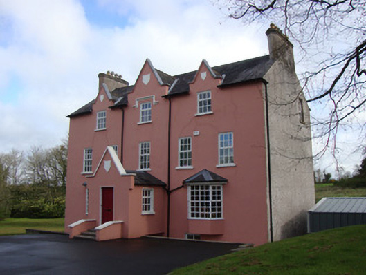 Glebe Houserectory/glebe/vicarage/curate's house · 1.7 mi
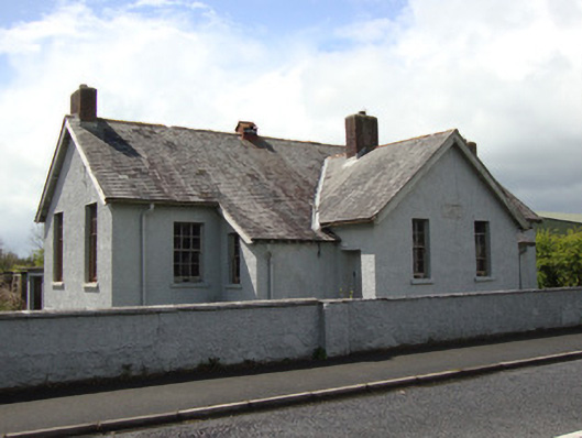 Annyalla National Schoolschool · 1.7 mi
 Battle of ClontibretBattlefield · 2.5 mi
 Fort HillWood · 3.8 mi
 Monaghan WayWalking route · 4.0 mi
 Castleshane WaterfallWaterfall · 4.4 mi
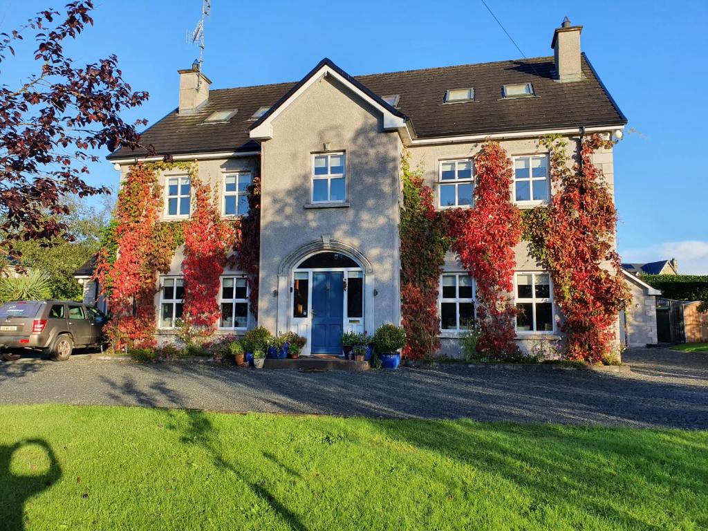 Knockamaddy Big WoodWood · 4.5 mi
 John Francis GreenMemorial · 4.8 mi
 The CrescentMemorial · 5.0 mi
 Bawn in OnomyBawn · 5.5 mi