What is recorded here
Carragh T.L. holds a living graveyard beside ruined church walls, its earliest legible stones marking 18th-century deaths while new graves extend east and south. The place sits on a gentle pasture slope, bounded by mortared stone and a deep drain, with a western gate admitting people into a world where old faith and daily life still share the same ground.
According to the OSL (Herity 2002, 45 (137)), 'In Carragh T.L. are the ruins of an old church (KD018-011001-), the burial ground belonging to which is still in use'. The burial ground is, however, not indicated on the 1st ed. (1838) of the OS 6-inch map. At the top of a gentle, E-facing pasture slope. A rectangular area (dims L 40m E-W, Wth c. 30m) is enclosed by a mortared stone wall on the S, W and N sides, and by a deep drain (D 2m; Wth 1.8m) along the E. There is an entrance gate on the W side. The ruins of a church (KD018-011001-) lie in the S sector and the burials are marked mainly by headstones, with a few flat graveslab, the earliest legible of which date to the 18th-century. A modern extension to the graveyard runs to the E and S. A roadside cross (KD018-010----) once stood c. 200m to the NW and a second roadside cross (KD018-012----) existed in the vicinity also.
Compiled by: Gearóid Conroy
Date of upload: 10 June 2011
The monument record does not grant public access. Check the route and ask the landowner before entering private land.
- What survives
- Recorded monument
Places near here
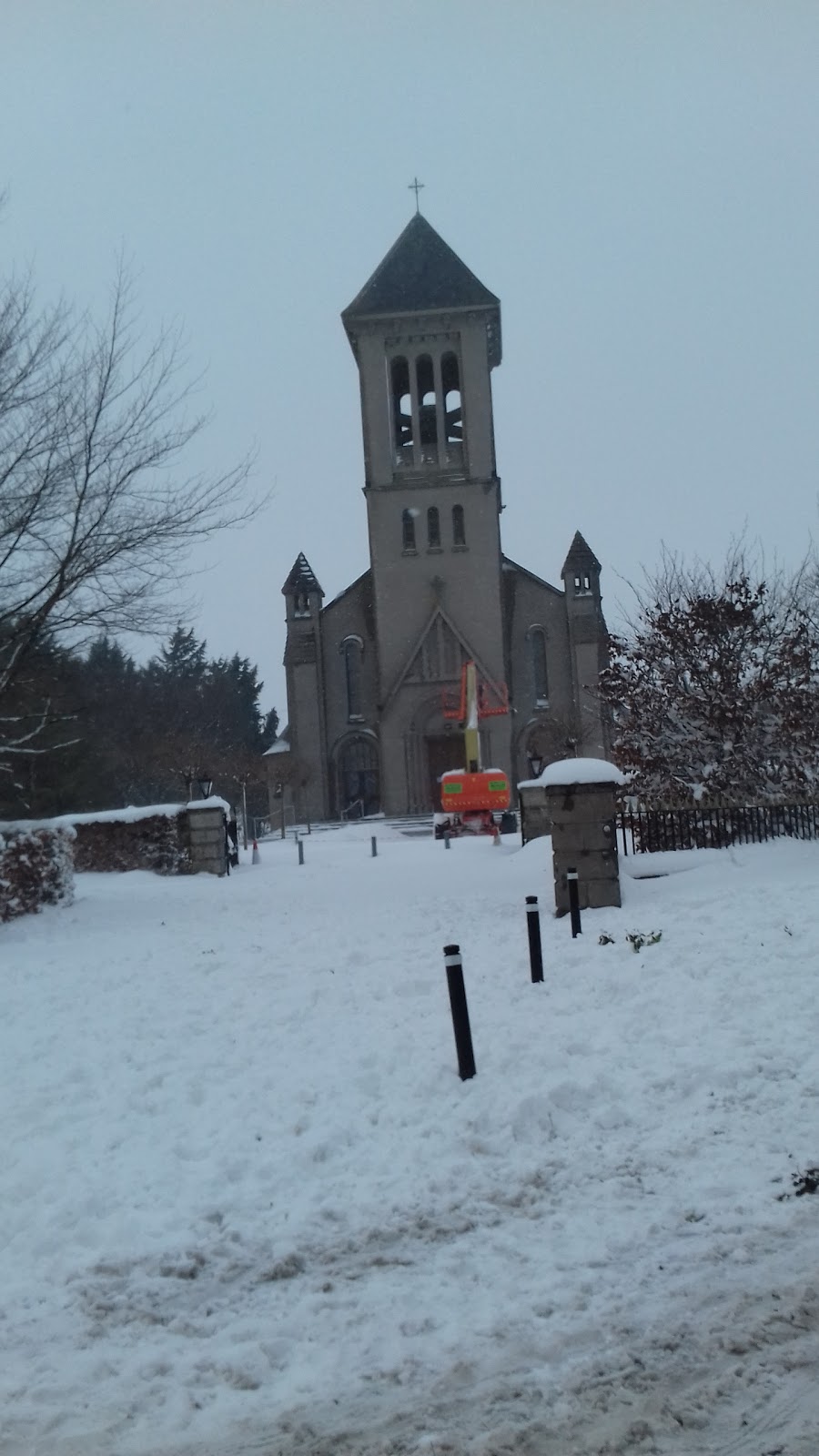 Church in CarraghChurch · 1 yd
 Site of Carragh Parish Church (C of I)Archaeological place · 25 yd
 Carragh CrossCross, Wayside cross · 241 yd
 Catholic Church of Our Lady and Saint Josephchurch/chapel · 330 yd
 Museum of MotorsportMuseum · 1.4 mi
 IndicatedCastle, tower house · 1.5 mi
 European Crab AppleEuropean Crab Apple · 1.8 mi
 Castle RagCastle, tower house · 2.5 mi
 Naas ParkWood · 3.1 mi
 Grand Canal WayVisitor information · 4.1 mi
 Newbridge SilverwareMuseum · 5.2 mi
 Councillor Jim MileyMemorial · 9.3 mi