What is recorded here
Quarrying has bitten into the eastern and western edges of the Carra ringfort, yet the central earthwork still stands thirty-four metres tall in the undulating grassland. Two banks and a hidden ditch mark its subcircular shape, preserving a boundary that human tools have only partially erased. The missing sections suggest the fort resisted easy taking, giving back earth only when forced rather than yielding willingly to human desire.
In undulating grassland. Subcircular rath (34m N-S; 29.2m E-W), in fair condition, defined by two banks and an intervening fosse. The fosse and outer bank survive only from WNW to NW. Quarrying has encroached upon the monument at E, from WSW to W, and from NW to NNW.
Compiled by: Galway Archaeological Survey, UCG
Date of upload: 23 January 2017
The monument record does not grant public access. Check the route and ask the landowner before entering private land.
- What survives
- Recorded monument
Places near here
 Enclosure in Carra (loughrea By.)Enclosure · 660 yd
 Field system in Carra (loughrea By.)Field system · 697 yd
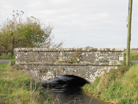 Carra Bridgebridge · 812 yd
 BenmoreHouse, 18th/19th century · 1.3 mi
 Galboley Castle (in ruins)Castle, unclassified · 2.5 mi
 Turoe StoneHeritage attraction · 2.5 mi
 Drought Castle (in Ruins)Castle, tower house · 3.0 mi
 Dartfield Horse MuseumHeritage attraction · 3.0 mi
 Woodlawn WoodsForest · 4.4 mi
 Large-leaved LimeLarge-leaved Lime · 4.6 mi
 Bush IslandIslet · 5.5 mi
 Middle IslandIslet · 5.5 mi