What is recorded here
Carnbane holds a sunken grassy trench beside its rath, wide enough for two people to walk shoulder to shoulder and deep enough to swallow a standing man’s knees. The NW spur suggests a chamber or turning, not a dead end, which means the passage may have led somewhere rather than merely hidden something. People likely dug it for storage, ritual or escape, then let grass and forgetting rebuild the roof.
Situated in the SW quadrant of rath (ME015-002001-). A sunken grass-covered area (dims 12.5m NE-SW; 3.7m NW-SE; D 0.6m) that has some stones and also has a spur (L 4.6m) to the NW at its NE end may be the remains of a Man-made underground passage.
The above description is derived from the published 'Archaeological Inventory of County Meath' (Dublin: Stationery Office, 1987). In certain instances the entries have been revised and updated in the light of recent research.
Compiled by: Michael Moore
Date of revision: 8 January 2019
The monument record does not grant public access. Check the route and ask the landowner before entering private land.
- What survives
- Recorded monument
Places near here
 Cairn FArchaeological place · 740 yd
 C11Named rock · 777 yd
 RathFairy fort / earthen ringfort · 820 yd
 Carnbane WestMountain / peak · 828 yd
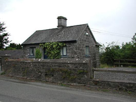 gate lodgegate lodge · 1018 yd
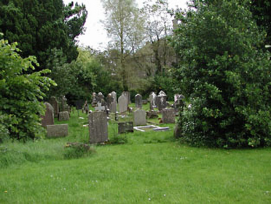 Saint Kaernan's Church (Loughcrew)graveyard/cemetery · 1092 yd
 CastleCastle, unclassified · 1110 yd
 LoughcrewMegalithic tomb cemetery · 1215 yd
 MoatCastle, motte · 1441 yd
 Common LimeCommon Lime · 1443 yd
 European YewEuropean Yew · 1464 yd
 Zip WireHeritage attraction · 1465 yd