What is recorded here
A Man-made underground passage now inaccessible said to have consisted of two chambers. The first was 10 ft long × 4 ft high. A second chamber, to the N connected by a low passage, was said to be 6 ft long. The Man-made underground passage was of drystone construction with a flagstone roof. Further N in the same field a small passage was discovered. They are situated in good land sloping to the SE.
The above description was derived from the 'Archaeological Survey of County Donegal. A description of the field antiquities of the County from the Mesolithic Period to the 17th century.' Compiled by: Brian Lacey with Eamon Cody, Claire Cotter, Judy Cuppage, Noel Dunne, Vincent Hurley, Celie O'Rahilly, Paul Walsh and Seán Ó Nualláin (Lifford: Donegal County Council, 1983). In certain instances the entries have been revised and updated.
Date of upload: 22 September 2008
The monument record does not grant public access. Check the route and ask the landowner before entering private land.
- What survives
- Recorded monument
Places near here
 Inch Presbyterian Churchchurch/chapel · 229 yd
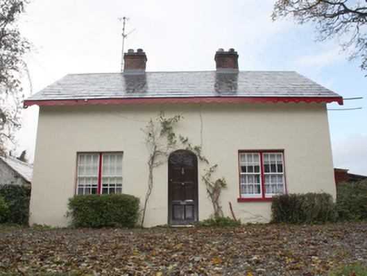 farm housefarm house · 264 yd
 InchIsland · 548 yd
 Inch Island Standing Stones and Megalithic TombPublicly named standing stone · 640 yd
 Carnaghan Portal TombPortal tomb · 647 yd
 King's GraveArchaeological place · 648 yd
 Old CastleCastle, tower house · 1.1 mi
 Mass RockNamed rock · 1.1 mi
 Lackan ForestForest · 1.3 mi
 Brown’s PointHeadland · 1.5 mi
 Mullanadee ShoreBeach / strand · 1.6 mi
 Bawn in An Machaire Beag (tc Fathain)Bawn · 1.6 mi