What is recorded here
Carn Castle is a ruined tower house on a Westmeath ridge, reduced to a five-metre section of south wall and scattered stone. It stood on lands belonging to the Earl of Kildare in 1641, overlooking pasture in every direction. A sheela-na-gig once embedded in its fabric may have watched the valley, marked the boundary, or simply mocked the men who built the walls around her.
Situated on a natural hillock atop of a ridge running E-W, in pasture, with good views in all directions. Carn Castle stood on lands belonging in 1641 to Earl of Kildare in the Parish of Conry (NLI, MS 723-4). Castle described in 1983 as only a section of the S wall of the castle remains upstanding (dims. 3m E-W; 2m N-S; H 5m) with traces of wall footings extending to E and N of the S wall. There are two large sections of collapsed masonry c. 5m to W of the upstanding section which are constructed of medium sized stones bonded with a rough mortar. The ground is uneven to E and W where there has been some quarrying. There are loose stones in the general vicinity of the castle. A modern stone wall running E-W lies c. 6m to N of the S wall of the castle. There are field clearance stones to S and E of the castle. According to Guest (1936, 29), a sheela-na-gig (WM024-123001-) in the possession of Henry Upton is said to have come from the fabric of Carn Castle.
Compiled by Alison McQueen, Vera Rahilly and Caimin O’Brien.
Date of upload: 27 August 2019
Carn Castle was held in 1641 by the Earl of Kildare, and its strategic location on a prominent ridge suggests it may have been used for defense or territorial control. The castle is remembered for its historical association with the powerful Kildare estate and its likely role in the regional power dynamics of early 17th-century Ireland.
The monument record does not grant public access. Check the route and ask the landowner before entering private land.
- What survives
- Recorded monument
Places near here
 Carn CastleCastle · 2 yd
 Hut site in Carn (rathconrath By.)Hut site · 826 yd
 Redmondstowndemesne walls/gates/railings · 1039 yd
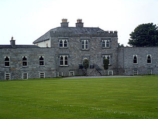 Jamestown Courtcountry house · 1114 yd
 Enclosure in KilleenEnclosure · 1471 yd
 Stremmingstown CastleCastle · 1508 yd
 Hill of UisneachMountain / peak · 1.9 mi
 European ashEuropean ash · 2.2 mi
 Sam's ParkForest · 2.4 mi
 KnockastiaMountain / peak · 4.1 mi
 Charles BianconiMemorial · 8.8 mi
 The Bob Traynor GalleryGallery · 8.9 mi