What is recorded here
Indicated is a large oval field enclosure in County Mayo, Ireland, built in the eighteenth or early nineteenth century and still visible beneath later straight walls. Its curving drystone boundary follows the natural slope rather than marking an ancient fort, suggesting practical pasture management instead of ceremonial design. The northern arc disappeared between the 1838 and 1920 maps, leaving a C-shaped reminder that human borders change while the land remembers the shape they first drew.
Located in hilly pasture, with expanses of damp lowlying pasture to W and rising ground to NE.
Large roughly oval enclosure (c. 60m N−S, c. 55m E−W) incorporated into a system of field walls is shown on the 1838 OS 6-inch map; by the time of the 1920 edition the enclosing element on the N arc has been removed.
An irregular C-shaped area (c. 51.5m E−W; c. 51.4m N−S) curving NE−W is defined by a drystone wall (Wth 1.6m; int. H 1.7m; ext. H 2m at W). The wall on the E side is almost linear gradually becoming a curve at SE−W. A section of the wall at S is lower (H 0.5-0.7m) than elsewhere. There is no trace at ground level of the NW arc of the enclosure, and straight field walls now define the NW and NE part of the field. The enclosed area slopes down from S to N and NE, and is crossed by later field walls on a NW−SE axis.
There is no convincing evidence that this is the remains of a ringfort/cashel or an archaeological enclosure. It is probably a field enclosure of 18th/early 19th century in date, which predates the current rectilinear NW−SE field layout. The curving shape was probably dictated by the naturally undulating ground.
Compiled by: Jane O’Shaughnessy
Date of upload: 9 December 2020
This remains an important historical record, but the official description says the monument is no longer visible or has been destroyed. The monument record does not grant public access. Check the route and ask the landowner before entering private land.
- What survives
- No visible remains or recorded as destroyed
Places near here
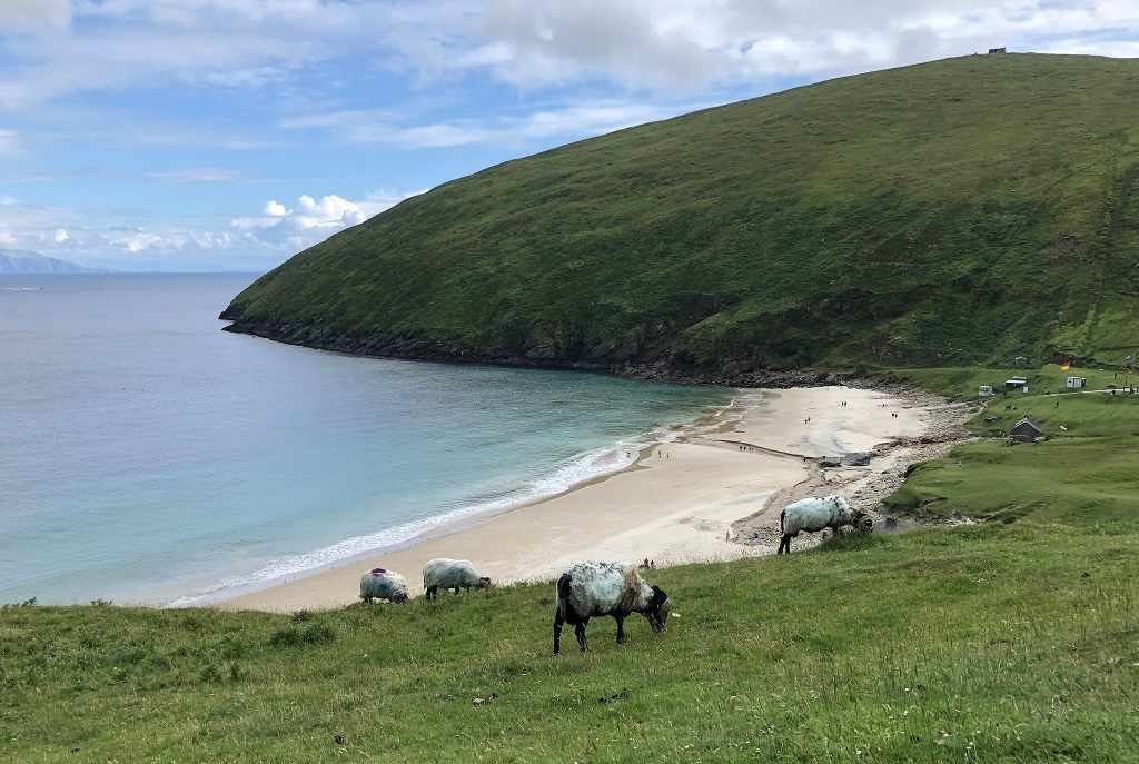 IndicatedEnclosure · 1568 yd
 Enclosure in Lavy MoreEnclosure · 1.2 mi
 Cloonfane National Schoolschool · 1.4 mi
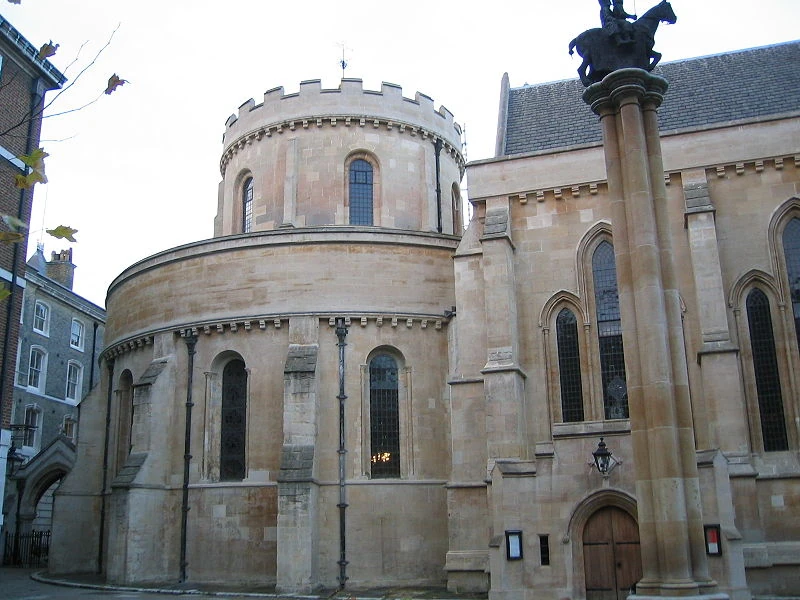 Church in TempleChurch · 1.7 mi
 Old Cave Burial GroundArchaeological place · 3.7 mi
 Bockagh HillMountain / peak · 5.8 mi
 Casatle (ruins)Castle, unclassified · 6.9 mi
 Crunaun Castle (in ruins)Castle, unclassified · 7.3 mi
 East Mayo Brigade MonumentMemorial · 7.3 mi
 Thorn CaveCave · 10.0 mi
 Kiltimagh MuseumMuseum · 12 mi
 Druminagh WoodForest · 12 mi